EXHIBIT H LOT 317 GRADING AND SITE PLAN
|
|
|
- Stephen Watkins
- 5 years ago
- Views:
Transcription
1 EXHIBIT H LOT 317 GRADING AND SITE PLAN

2
3 EXHIBIT I LOT 317 ELEVATIONS
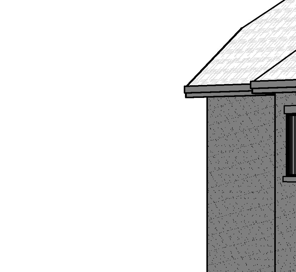
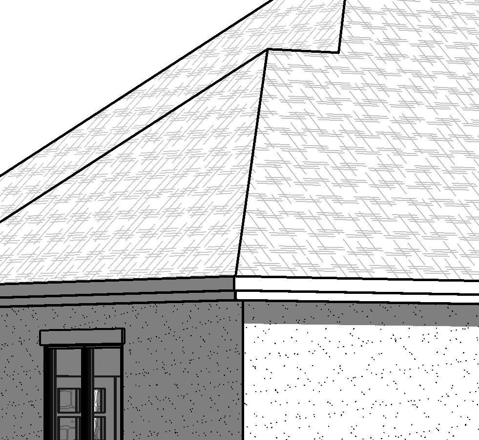
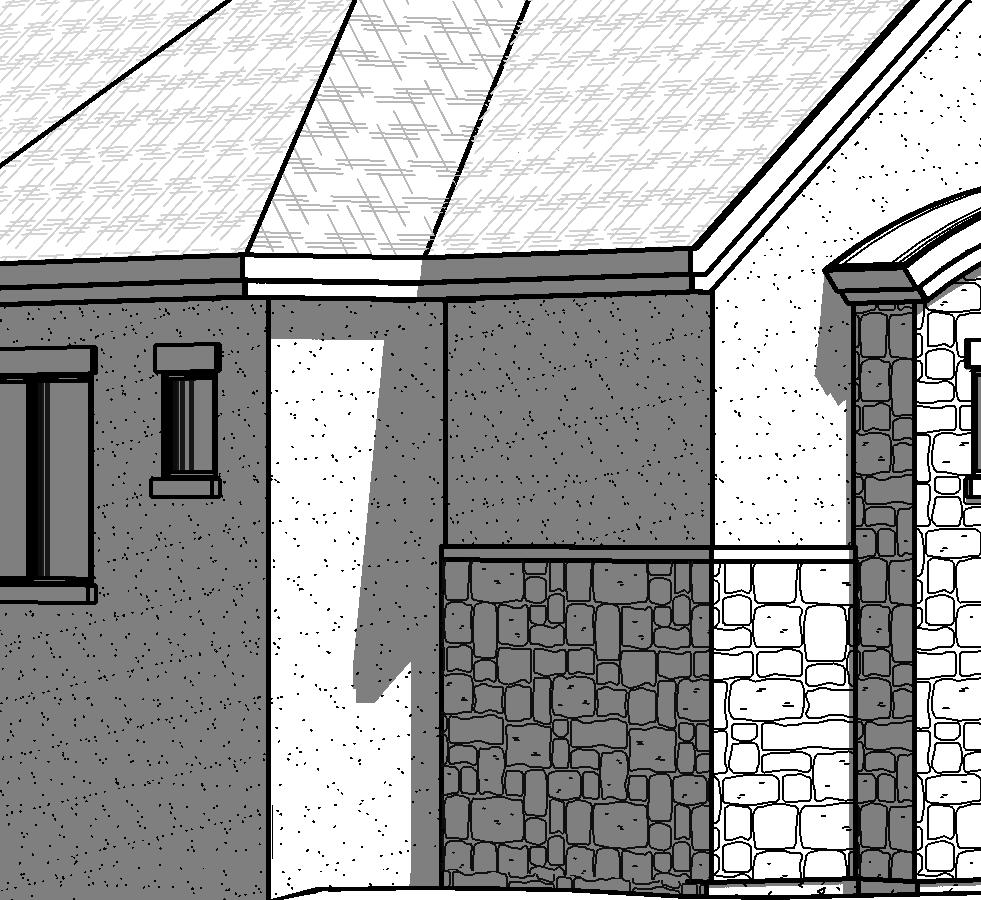
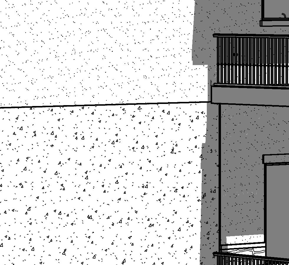
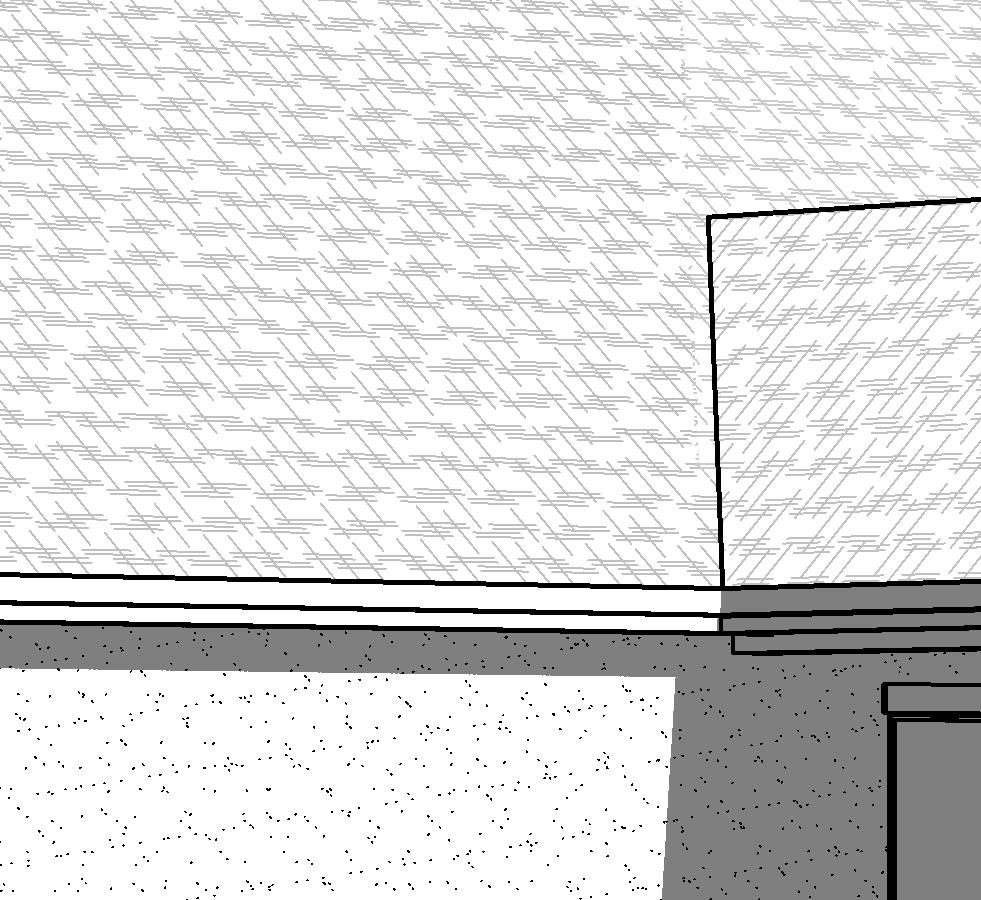
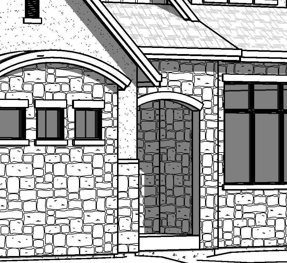
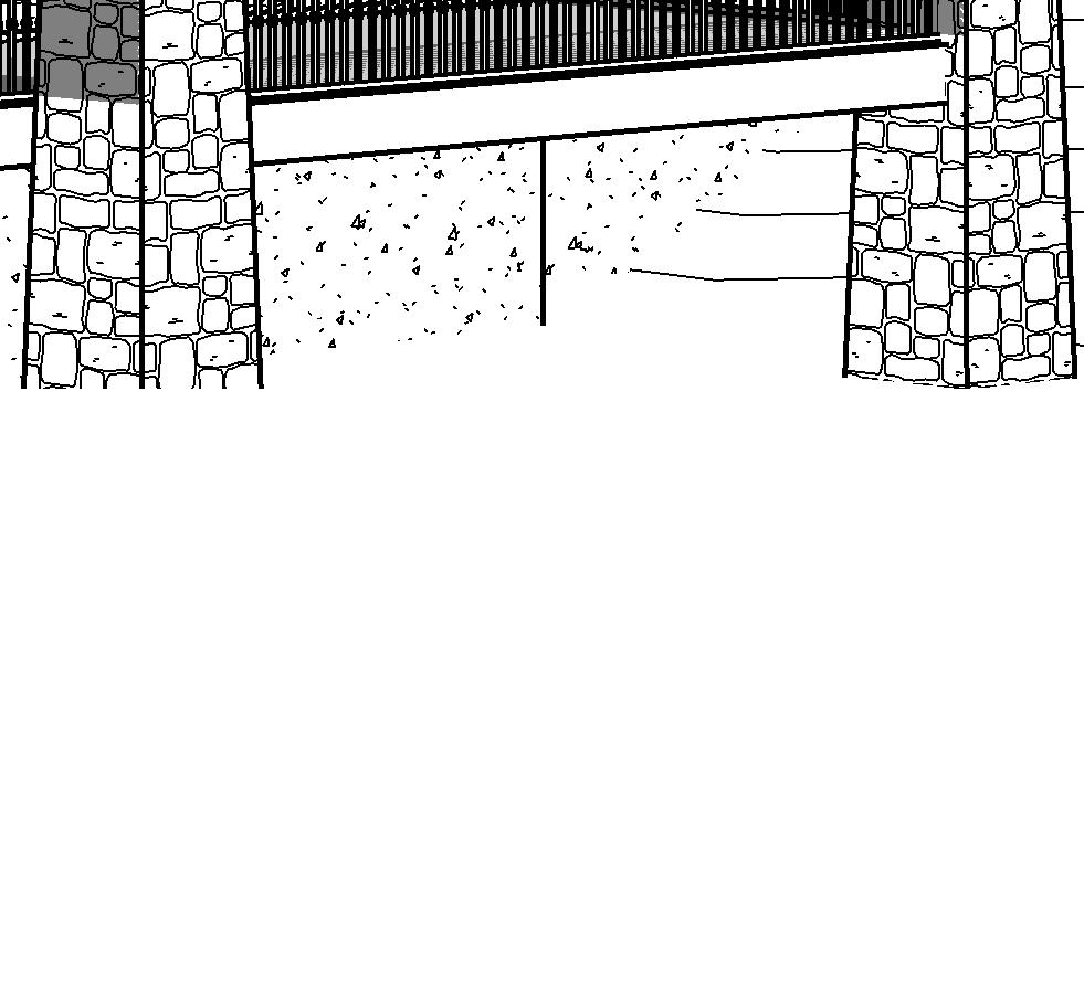
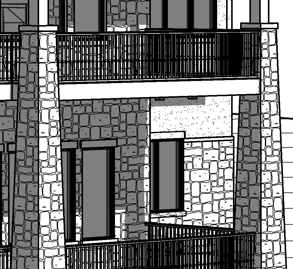
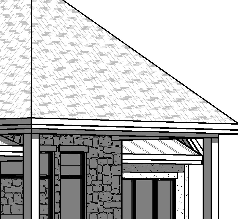
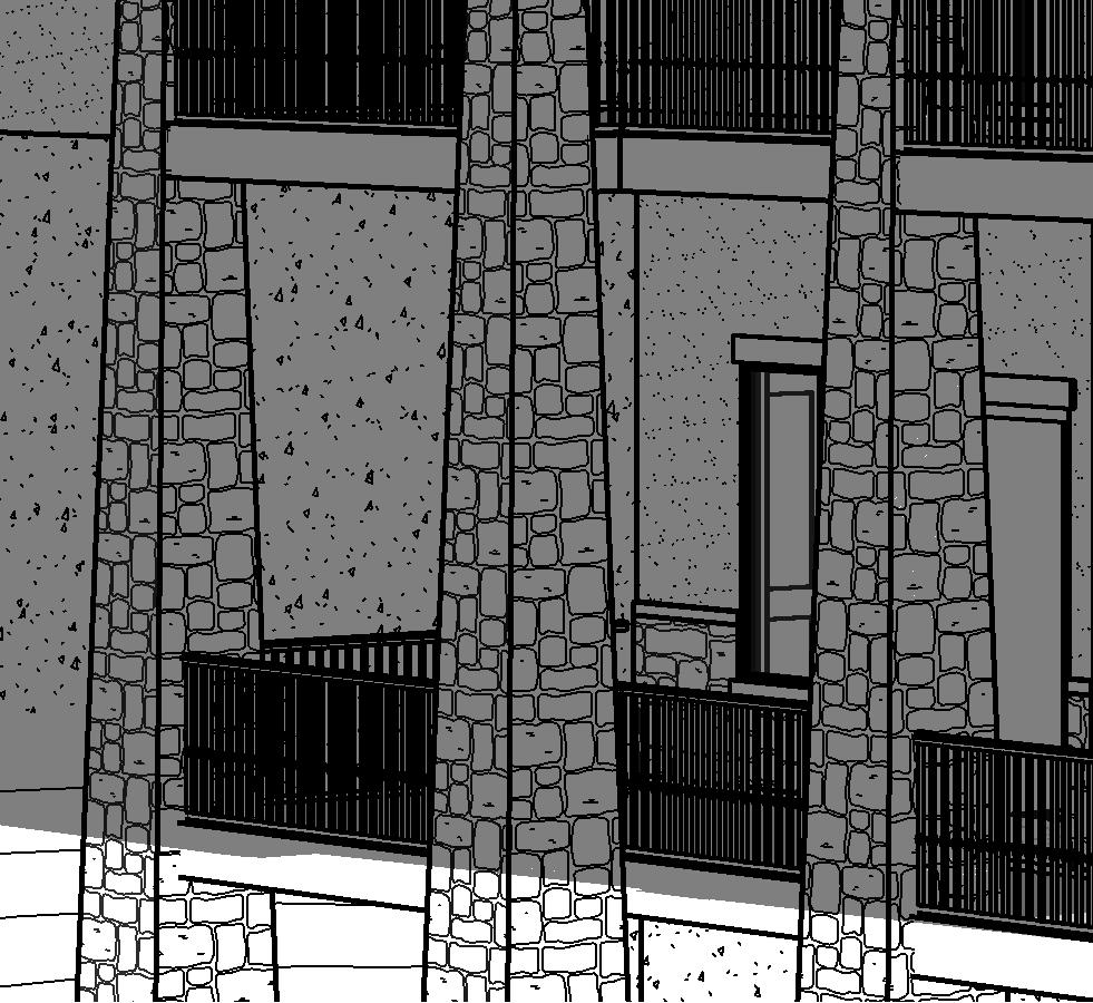
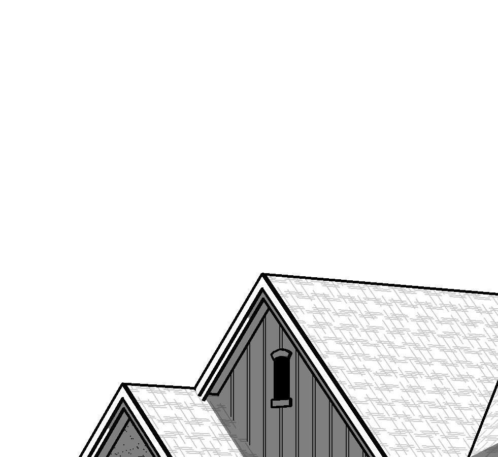
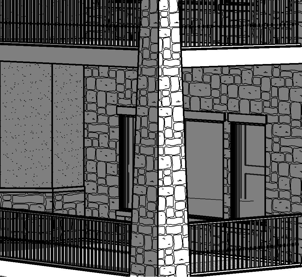
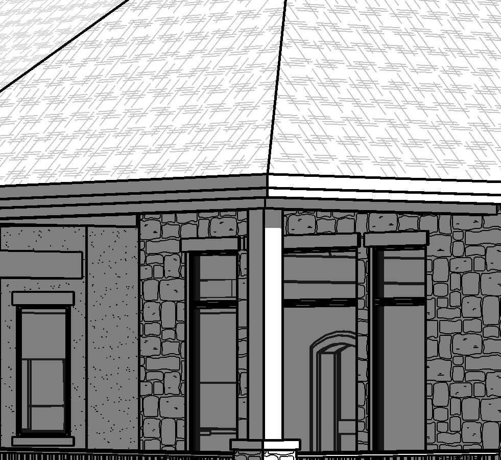
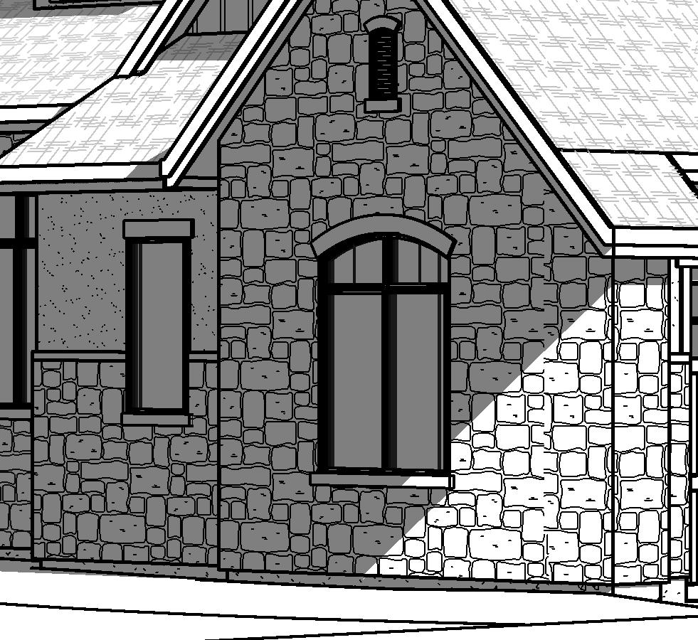
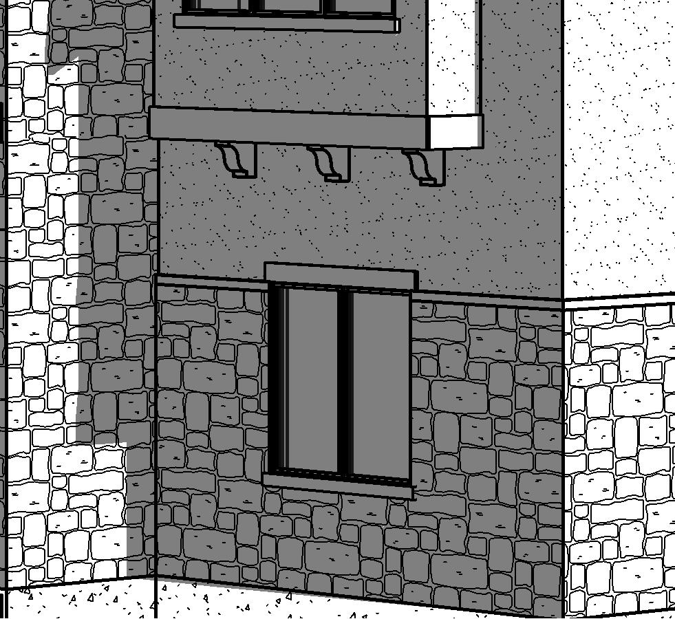
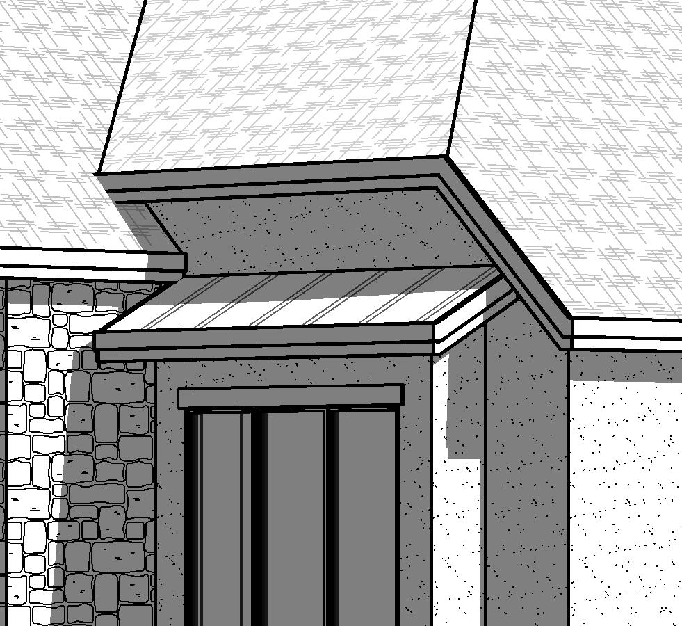
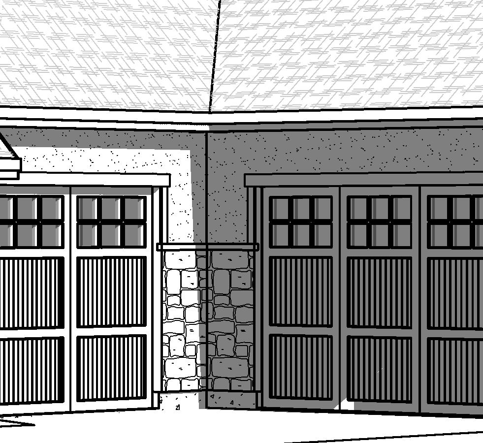
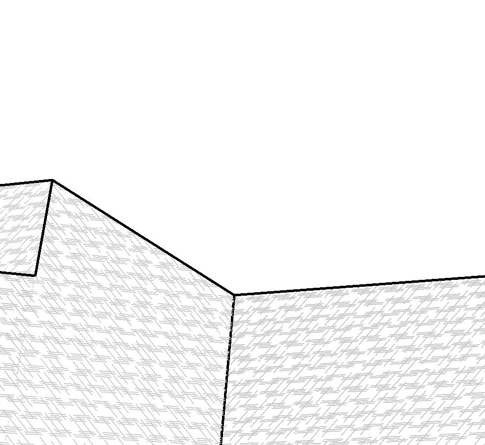
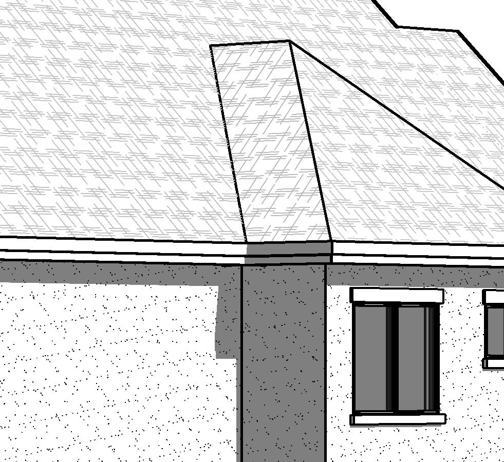
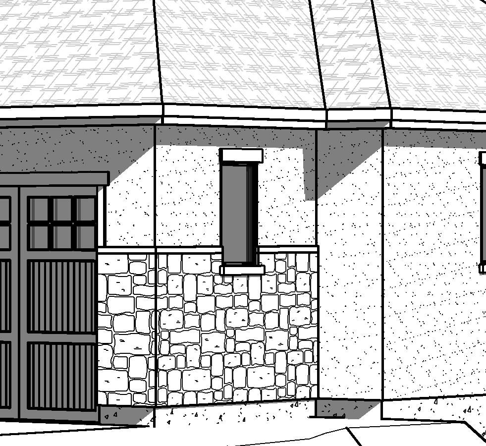
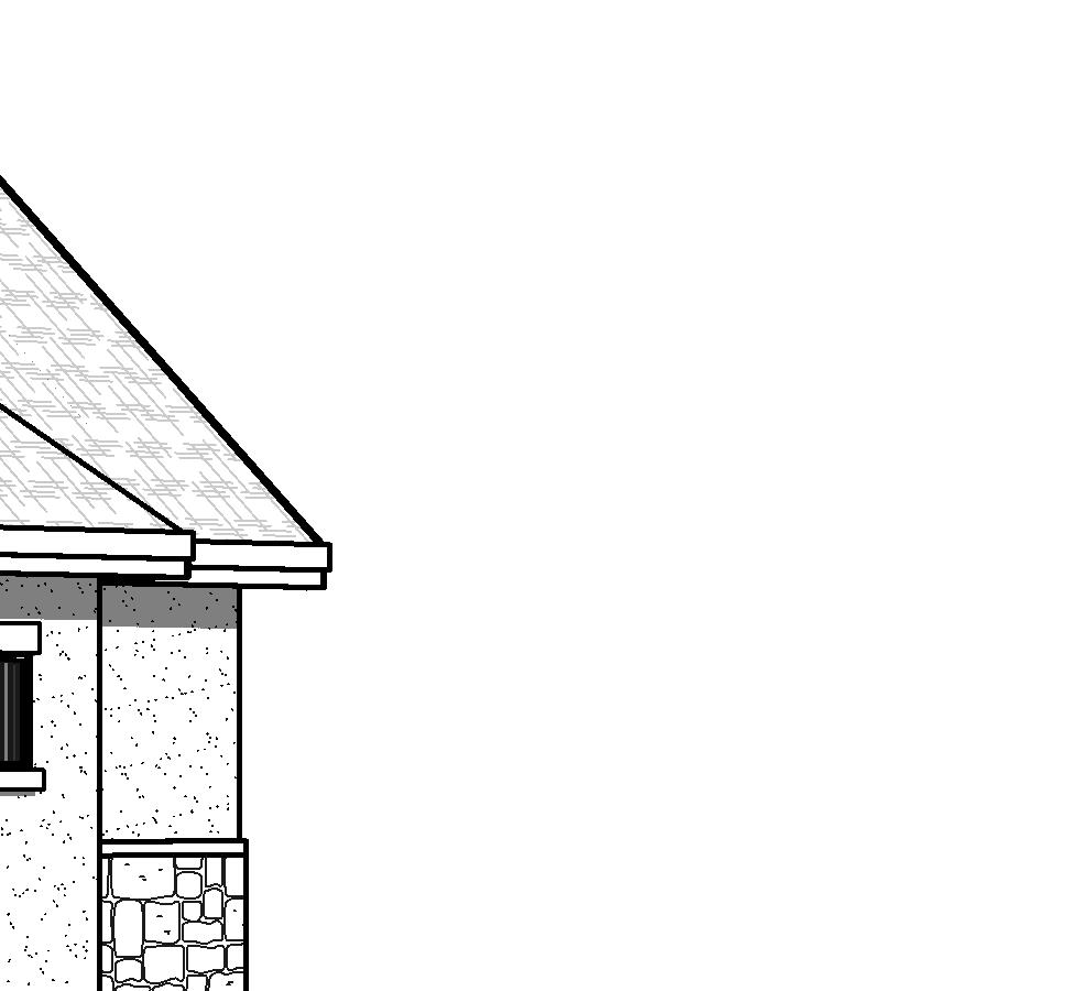
4 ridge height 4915'-6" GENERAL & KEYED NOTES ridge height 4905'-9" A ridge height 4910'-6" 2 ridge height 4906'-3" 1 Provide soffit, ridge, & j-vents for adequate attic ventilation equal to 1/300 of attic space as per IRC 2 Class 'A' architectural asphalt composition shingles as per owner 3 Gable vents as per owner 4 Standing seam copper roof as per owner 5 10" aluminum fascia w/ decorative crown & vented soffit as per owner 6 Stone veneer as per owner w/ 22 ga. 16" o.c. each way 7 Board & batten siding as per owner 8 Synthetic stucco system w/ hardcoat as per owner 9 Doors & windows as per floor plans, schedules, & owner 10 Provide 36" (min.) guardrail as per IRC 11 10" x 10" column w/ stone base as per owner 29' - 6" FRONT ELEVATION ridge height 4915'-6" ridge height 4910'-6" ridge height 4906'-3" ridge height 4905'-9" 4 INOUYE DESIGN 1443 W. 800 N. Suite 102 Orem, Utah Phone: Emery Residence A5.2 REAR ELEVATION The Cove at Bear Canyon, Lot 317 Contractor shall verify all dimensions, conditions and measurements at the job prior to construction. These plans and documents are the property of Inouye Design, and any reuse or further distribution thereof in part or in whole without the written permission of the designer is strictly prohibited. Designer is not an architect or engineer. C Copyright 2015 Inouye Design 12 x 18 (sheet size): 1/8"=1'-0" 24 x 36 (sheet size): 1/4"=1'-0" Project August 2015 Draper, Utah A3.1 FRONT & REAR ELEVATIONS
5 ridge height 4910'-6" ridge height 4912'-0" 9" ridge height 4911'-6" GENERAL & KEYED NOTES 1 Provide rock retaining as req'd 9" ridge height 4905'-0" LEFT ELEVATION ridge height 4911'-6" 9" ridge height 4912'-0" 1 INOUYE DESIGN 1443 W. 800 N. Suite 102 Orem, Utah Phone: Emery Residence RIGHT ELEVATION The Cove at Bear Canyon, Lot 317 Contractor shall verify all dimensions, conditions and measurements at the job prior to construction. These plans and documents are the property of Inouye Design, and any reuse or further distribution thereof in part or in whole without the written permission of the designer is strictly prohibited. Designer is not an architect or engineer. C Copyright 2015 Inouye Design 12 x 18 (sheet size): 1/8"=1'-0" 24 x 36 (sheet size): 1/4"=1'-0" Project August 2015 Draper, Utah A3.2 LEFT & RIGHT SIDE ELEVATIONS


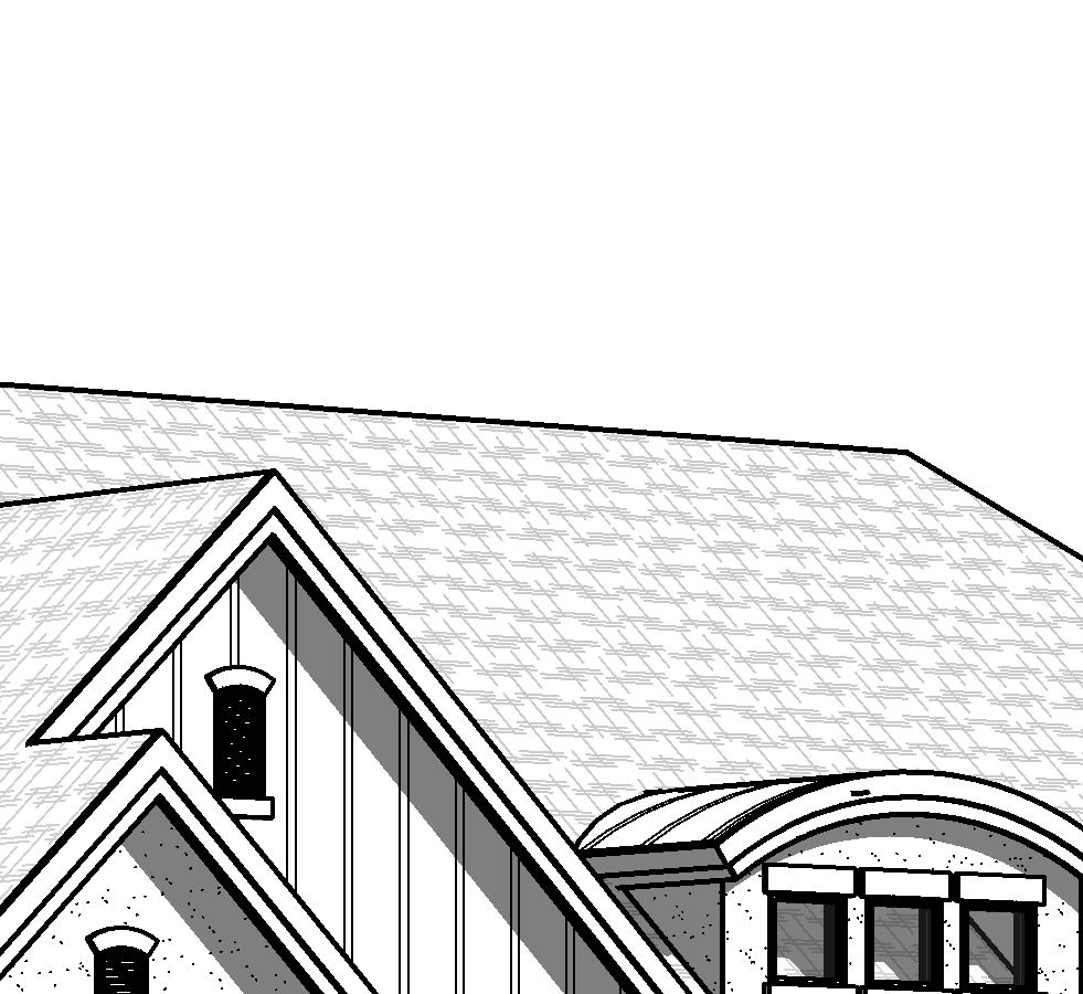
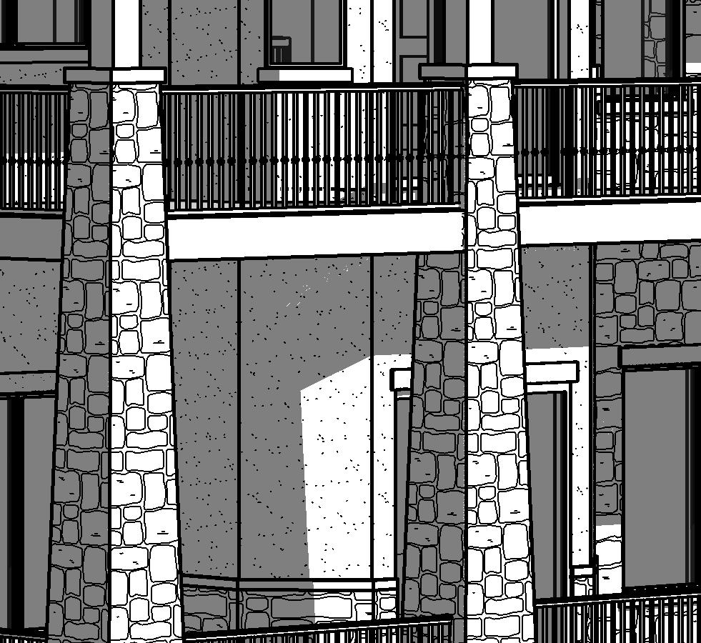
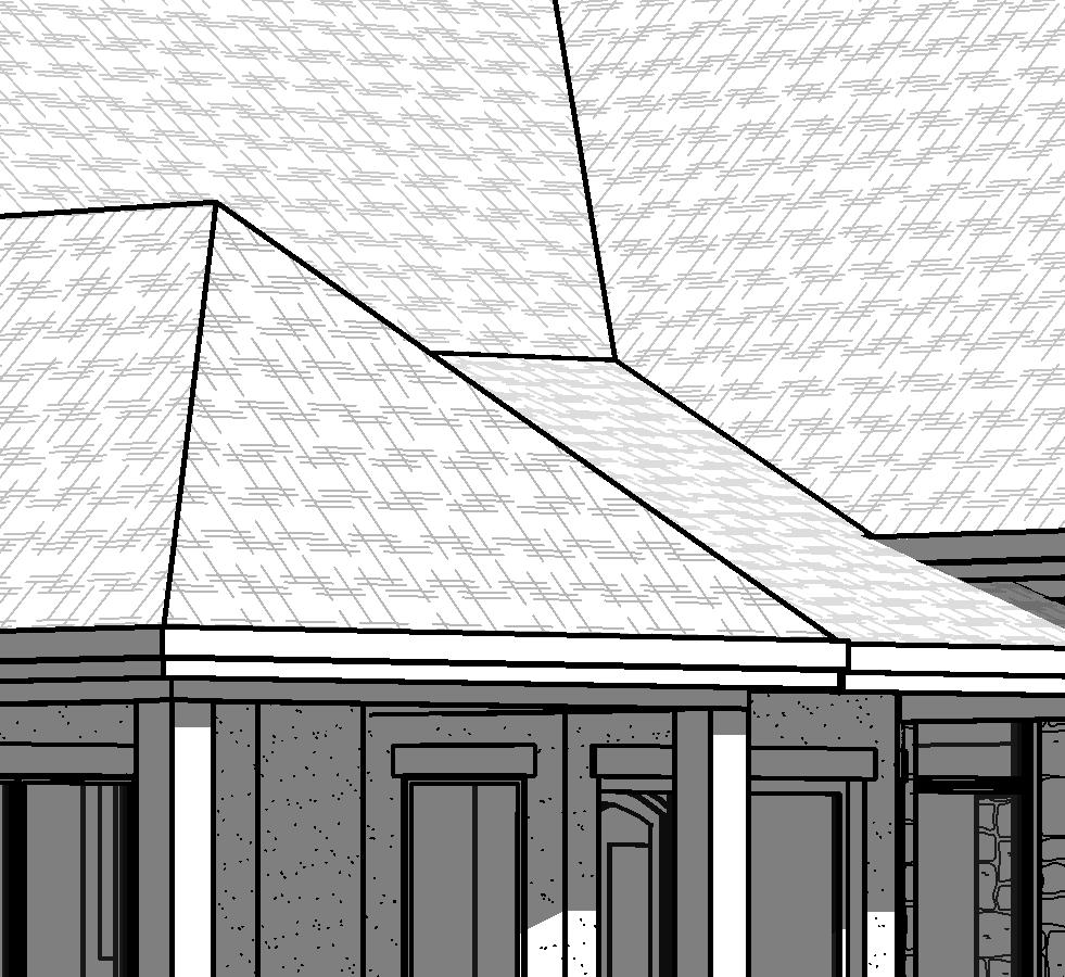
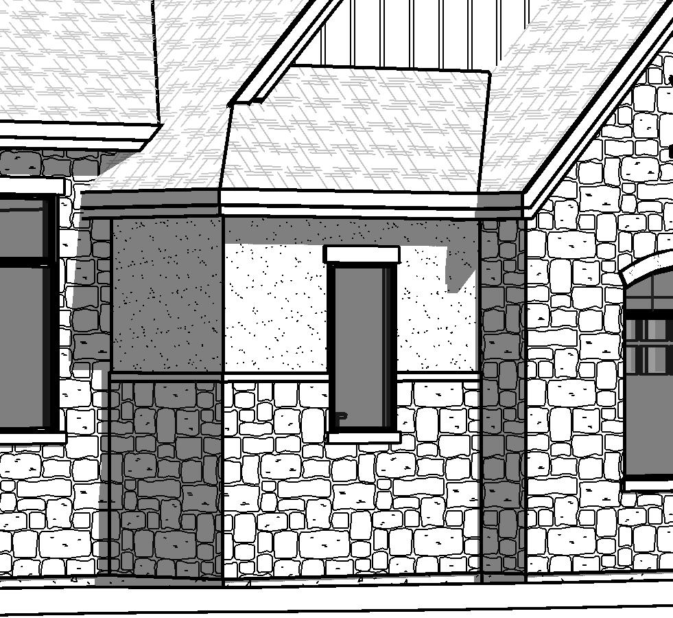
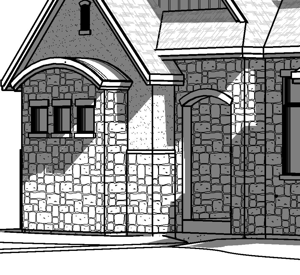


6 GENERAL & KEYED NOTES FRONT LEFT PERSPECTIVE FRONT RIGHT PERSPECTIVE BACK RIGHT PERSPECTIVE INOUYE DESIGN 1443 W. 800 N. Suite 102 Orem, Utah Phone: Emery Residence Draper, Utah Contractor shall verify all dimensions, conditions and measurements at the job prior to construction. These plans and documents are the property of Inouye Design, and any reuse or further distribution thereof in part or in whole without the written permission of the designer is strictly prohibited. Designer is not an architect or engineer. C Copyright 2015 Inouye Design 12 x 18 (sheet size): 1/8"=1'-0" 24 x 36 (sheet size): 1/4"=1'-0" BACK LEFT PERSPECTIVE Project August 2015 A3.3 PERSPECTIVE VIEWS The Cove at Bear Canyon, Lot 317
7 EXHIBIT J APPLICANT LETTER
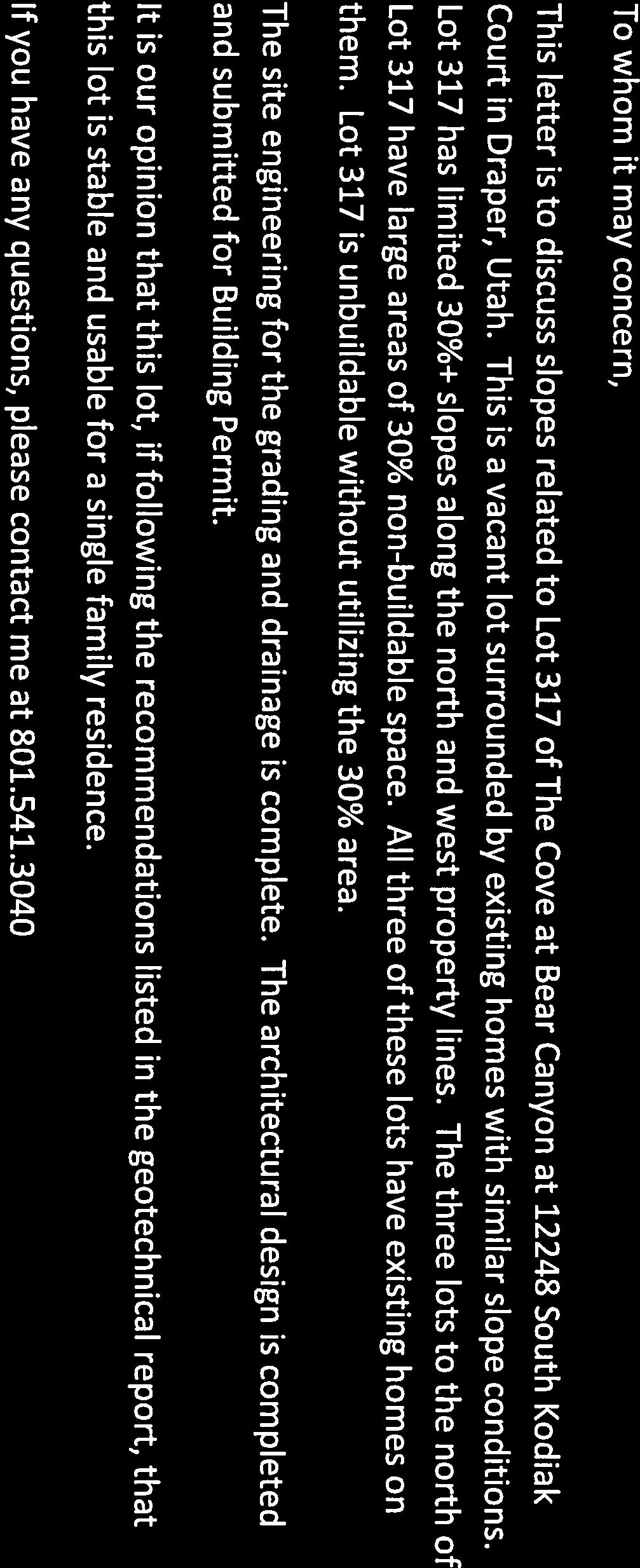


8
9 EXHIBIT K GEO-TECHNICAL AND SLOPE STABILITY ANALYSIS REVIEWS

10
11
12 SA Simon Associates LLC geologic, environmental, & geotechnical consultants 1981 East Curtis Drive Salt Lake City, Utah December 11, 2015 Mr. Keith Collier Chief Building Official Draper City 1020 East Pioneer Road Draper, Utah Subject: Geologic Review Letter No. 2 Lot 317, Phase 3, The Cove at Bear Canyon South Kodiak Court, Draper, Utah SA Project No: Report: AGEC Response to Draper City Geologic Review, Lot 317, The Cove at Bear Canyon, Phase 3, South Kodiak Court, Draper, Utah (AGEC Project No ), dated October 12, 2015: prepared for Alvin Emery, 1164 Sunset Dunes Way, Draper, UT Geologic Submittal Status: COMPLETE SUBMITTAL Dear Mr. Collier, At your request, SA reviewed the above referenced October 21, 2015, AGEC Geotechnical, Inc., (AGEC), letter. The October 21, 2014, AGEC letter was submitted in response to the following: 1. Draper City Community Development Department Memorandum, Engineering Division, dated March 26, The March 26, 2006, Draper City Community Development Department Engineering Division Memorandum was submitted in response to AGEC Surface Fault Rupture Hazard Study, The Cove at Bear Canyon, Lot 317, South Kodiak Court, Draper, Utah, (AGEC Project No ), dated February 22, 2006: prepared for Ryan Anderson Custom Homes, P.O. Box 95310, South Jordan. Utah Draper City project meeting on October 12, 2015 (SA, 2015).
13 Geologic Review Letter No. 2 SA Project No Lot 317, Phase 3, The Cove at Bear Canyon December 11, South Kodiak Court, Draper, Utah Page 2 of 7 The purpose of SA s review is to evaluate whether or not the AGEC documents adequately address geologic conditions at the site, consistent with concerns for public health, safety, and welfare; reasonable professional standards-of-care, and; Draper City s Geologic Hazards Ordinance (2007; 2010). SA Conclusions Based substantially in and on reliance of the technical documentation and assurances provided by AGEC, including their findings and conclusions, it is SA s opinion that the October 21, 2014, AGEC letter adequately: 1. Responded to the items in the March 26, 2006, Draper City Community Development Department Engineering Division Memorandum, and; 2. Characterized the geologic conditions at the subject property. SA Recommendations SA recommends Draper City consider the AGEC submittals complete from a geologic perspective. AGEC Conclusions Findings and conclusions from the October 12, 2015, AGEC response letter follow: Draper City Review Comment Item 2: a. The fault at station , as shown on the trench profile (Figure 6 of the February 22, 2006 AGEC report), juxtaposes lacustrine deposits (AGEC Unit 4) against slump deposits (AGEC Unit 3; the lacustrine deposits displaced down relative to the slump deposits). The trench profile also indicates that the fault extends into the overlying colluvium (AGEC Unit 2). The February 22, 2006 AGEC report states: "The fault displaces lacustrine deposits and does not appear to extend upward into the colluvium," (Page 8). The consultant should clarify the discrepancy. Simon Associates LLC
14 Geologic Review Letter No. 2 SA Project No Lot 317, Phase 3, The Cove at Bear Canyon December 11, South Kodiak Court, Draper, Utah Page 3 of 7 b. In the May 1, 2006 report AGEC states: The displacement was determined by measuring the offset of a sandy fine gravel bed within the lacustrine deposit. This bed, with a displacement of 1 foot, is clearly shown on Figure 6." Draper City Engineering cannot identify a sandy fine gravel bed within the lacustrine deposit that is lic1early" displaced 1 foot. Once again, based on the trench profile, it appears that only a minimum displacement can be determined. The consultant should provide further documentation on how the 1 foot of displacement was determined. Based on the documented displacement of the lacustrine deposits (AGEC Unit 4), slump deposits (AGEC Unit 3), and colluvium (AGEC Unit 2L the displacement is at least 4.5 feet. AGEC Response to Item 2 The lacustrine deposits encountered between Station to were mislabeled on Figure 6 for Exploratory Trench No.2. The field logs are submitted with the appropriate numbering of units. The sandy fine gravel bed is highlighted to show the bed used for determining fault offset. In addition, the slump materials have been reinterpreted to be soft-sediment deformation of Lake Bonneville sediments and this change is explained later in this letter. Draper City Review Comment Item 3: a. The fault at station , as shown on the trench profile (Figure 6 of the February 22, 2006 AGEC report juxtaposes colluvium (AGEC Unit 2) against slump deposits (AGEC Unit 3). In the May 1, 2006 report AGEC states, The displacement along the fault at station was determined by measuring the vertical offset between the colluvium and the lacustrine contact." The trench profile does not document any lacustrine sediments south of station (We have assumed south"; neither the trench profile nor the text indicate the orientation of the trenches, nor do the trench profiles indicate the wall that was logged.). In the same paragraph AGEC states The contact between Unit 2 and Unit 3 was measured." According to AGEC's description of soil units and symbols on Figure 7 of the February 22, 2006 report, Unit 2 designates colluvium" and Unit 3 designates "slump deposits." AGEC should clarify the discrepancy. Simon Associates LLC
15 Geologic Review Letter No. 2 SA Project No Lot 317, Phase 3, The Cove at Bear Canyon December 11, South Kodiak Court, Draper, Utah Page 4 of 7 b. AGEC further states: Figure 6 has a match line through the fault and doesn't line up as well as it should. The original field logs were reviewed and the displacement was determined to be between 2.5 and 3.0 feet." AGEC should resubmit the trench profile of Trench 2, such that the displacement is correctly shown. AGEC should also clarify the specific displacement documented. AGEC Response to Item 3 The incorrect numbering of the lacustrine deposits resulted in the confusion concerning soil units and estimated displacement along the faults identified. The field log shows the layers used to determine the 2½-foot fault offset at approximate Station 0+75 (Approximate Station 0+05 on the field log). Draper City Review Comment Item 4 The consultant should provide the data supporting the following statements: a. While the soils encountered in the eastern portion of Lot 317 appear to be deformed, their current condition is considered to be stable." Specifically, provide the data to support that the soils encountered in the eastern portion of Lot 317 are stable. b. "Soil movement and deformation appear to be old and no evidence of active movement was found." Specifically, provide the data supporting that the soil movement and deformation are in fact "old" and the specific data supporting that the movement is pre-holocene. c. Additional geotechnical engineering studies of the site (AGEC Project No ) reported that no signs of major slope instability were observed." Specifically, please define "major slope instability" and provide the specific geotechnical data that "major" slopes are stable. AGEC Response to Item 3 The deposit interpreted as slump material has been reinterpreted to be soft-sediment deformation of Lake Bonneville deposits and this deformation would have occurred Simon Associates LLC
16 Geologic Review Letter No. 2 SA Project No Lot 317, Phase 3, The Cove at Bear Canyon December 11, South Kodiak Court, Draper, Utah Page 5 of 7 when the lake was above the level of the site, more than 10,000 years ago. Similar softsediment deformation will not occur at this site since the lake is no longer near the elevation of the site. This reinterpretation of the origin of the deposit labeled as a slump deposit in the report to soft-sediment deformation is based on review of trench photographs of the deposit (attached) and a review of aerial photographs and geologic maps for the area, which indicate that slump deposits are not consistent with the topography and geologic setting of the area. The soil encountered at the site consists of sand and gravel. No water was encountered to the depth investigated. Slopes in the area are typically flatter than 3 horizontal to 1 vertical. Recommendations are given in the geotechnical report for permanent, unretained cut and fill slopes for the proposed development. Item 7 of the Project Meeting Memo Item 7 of the project memo of September 29, 2015 reads: Mr. Collier noted Figure 2 in the February 22, 2006 AGEC letter queried the northern location of a fault documented on the property and additional investigation should be performed to document the location of the fault in the north part of the property. AGEC Response to Item 7 Research finds that a trench was excavated in a general east/west direction just north of the property line by AGRA. The trench found no evidence of a fault in the area in question. This was discussed in a meeting on October 9, 2015 at Draper City offices with Mr. Collier and Mr. Simon. It is our professional opinion that the information is sufficient to indicate that the fault dies out before the AGRA trench. The fault is shown on attached Figure 1 to continue to the north of the queried location to just south of the AGRA trench. No additional trenching is recommended at this time. Closure Comments and recommendations in this review are based on data presented in the referenced Consultant s report. SA accordingly provides no warranty that the data in the Consultant s report or any other referenced reports are correct or accurate. SA has not performed an independent site evaluation. Comments and recommendations presented Simon Associates LLC
17
18 Geologic Review Letter No. 2 SA Project No Lot 317, Phase 3, The Cove at Bear Canyon December 11, South Kodiak Court, Draper, Utah Page 7 of 7 References Cited SA, 2015, SA Memorandum for Project Meeting on October 9, 2015, Lot The Cove at Bear Canyon, South Kodiak Court, Draper, Utah (SA Project No: ), dated October 12, 2015: prepared for Keith Collier, Chief Building Official, Draper City, 1020 East Pioneer Road, Draper, Utah Draper City, 2010, Chapter 9-19 Geologic hazard ordinance of Title 9 Land Use and Development Code for Draper City, adopted December 30, 2003, per Ordinance No. 547; amended December 11, 2007 per Ordinance No. 796; amended June 1, 2010, per Ordinance No Draper City, 2007, Appendix B, Minimum standards for surface fault rupture hazard studies, Chapter 9-19 Geologic hazard ordinance of Title 9 Land Use and Development Code for Draper City, adopted December 30, 2003, per Ordinance No. 547; amended December 11, 2007 per Ordinance No Simon Associates LLC
19 EXHIBIT L RESIDENT LETTERS


20
21
22
23
24
Date: April 2, 2014 Project No.: Prepared For: Mr. Adam Kates CLASSIC COMMUNITIES 1068 E. Meadow Circle Palo Alto, California 94303
 City of Newark - 36120 Ruschin Drive Project Draft Initial Study/Mitigated Negative Declaration Appendix C: Geologic Information FirstCarbon Solutions H:\Client (PN-JN)\4554\45540001\ISMND\45540001 36120
Should you have any questions regarding this clarification, please contact the undersigned at or (925)
") October 8, 2015 Revised October 13, 2015 Contra Costa Community College District 500 Court Street Martinez, CA 94553 Attention: Ron Johnson Subject: Clarification of Grading Requirements Diablo Valley
October 8, 2015 Revised October 13, 2015 Contra Costa Community College District 500 Court Street Martinez, CA 94553 Attention: Ron Johnson Subject: Clarification of Grading Requirements Diablo Valley
OUR TEAM SHEET INDEX CIVIL C O V E R S H E E T. T H E C O V E A T P A C I F I C A S A N J U A N S a n J u a n C a p i s t r a n o, C A
 OUR TEAM SHEET INDEX OWNER/DEVELOPER: PACIFIC POINT DEVELOPMEN PARTNERS LLC CONTACT: MATTHEW LAND 100 SPECTRUM CENTER DR, SUITE 1450 BUSINESS: (949) 341-1237 IRVINE, CA 92618 ARCHITECT / PLANNER: BASSENIAN
Roy Pyle March 24, 2017 Chief Facilities Planner Contra Costa Community College District 500 North Court Street Martinez, CA 94533
 State of California Natural Resources Agency Edmund G. Brown Jr., Governor Department of Conservation John G. Parrish, Ph.D., State Geologist California Geological Survey 801 K Street MS 12-31 Sacramento,
OUR TEAM SHEET INDEX CIVIL C O V E R S H E E T. T H E C O V E A T P A C I F I C A S A N J U A N S a n J u a n C a p i s t r a n o, C A
 OUR TEAM SHEET INDEX OWNER/DEVELOPER: PACIFIC POINT DEVELOPMEN PARTNERS LLC CONTACT: MATTHEW LAND 100 SPECTRUM CENTER DR, SUITE 1450 BUSINESS: (949) 341-1237 IRVINE, CA 92618 ARCHITECT / PLANNER: BASSENIAN
COMMUNITY DEVELOPMENT DEPARTMENT POLICY & PROCEDURE
 COMMUNITY DEVELOPMENT DEPARTMENT POLICY & PROCEDURE Policy No: DSP-OO3 Release Date: January 1, 2014 Effective Date: January 1, 2014 Revision Date: March 1, 2018 TITLE: The City Policy for Site Specific
Converse Consultants Geotechnical Engineering, Environmental & Groundwater Science, Inspection & Testing Services
 Converse Consultants Geotechnical Engineering, Environmental & Groundwater Science, Inspection & Testing Services Ms. Rebecca Mitchell Mt. San Antonio College Facilities Planning & Management 1100 North
Re: Steep Slope Assessment for 2465 Waverly Drive, Blind Bay, BC; Legal Address: Lot 39, Section 18, Township 22, Range 10, Plan 25579, W6M, KDYD.
 OEL File 1563-1 May 30, 2017 Doug Wall PO Box 774 Salmon Arm, BC V1E 4N7 Re: Steep Slope Assessment for 2465 Waverly Drive, Blind Bay, BC; Legal Address: Lot 39, Section 18, Township 22, Range 10, Plan
2. Initial Summary of Preliminary Expert Opinion of Converse and Psomas Reports
 UNITED WALNUT TAXPAYERS PRELIMINARY REVIEW OF NEGATIVE GEOTECHNICAL AND GEOLOGICAL ASPECTS OF CONSTRUCTING EARTHFILL PAD FOR A SOLAR FARM ON THE WEST PARCEL - DRAFT 1. Introduction A licensed Engineering
DEPARTMENT OF PUBLIC WORKS. James R. McCain, Jr. Corporation Secretary/Assistant General Counsel
 I DEPARTMENT OF PUBLIC WORKS I 4 o41lf June 8, 2015 MEMORANDUM TO: James R. McCain, Jr. Corporation Secretary/Assistant General Counsel THROUGH: C. Ronald Belton, Assistant~ tth MaY.or/ChljJi~~~ ~ Officer
BUILDING AND SAFETY FEE SCHEDULE (Effective July1, 2013)
") BUILDING AND SAFETY DIVISION TELEPHONE (949) 724-6300 BUILDING AND SAFETY FEE SCHEDULE (Effective July1, 2013) Payment: When a plan is required by the Administrative Authority to be submitted, a plan check
BUILDING AND SAFETY DIVISION TELEPHONE (949) 724-6300 BUILDING AND SAFETY FEE SCHEDULE (Effective July1, 2013) Payment: When a plan is required by the Administrative Authority to be submitted, a plan check
PONDEROSA. June 4, Troy Fujimoto Senior Planner City of Pleasant Hill 100 Gregory Lane Pleasant Hill, CA
 Attachment B PONDEROSA June 4, 2018 Troy Fujimoto Senior Planner City of Pleasant Hill 100 Gregory Lane Pleasant Hill, CA 94523. H 0 M ES Re: Reliez Terrace ARC Study Session Submittal Dear Troy, Ponderosa
Guidelines for Site-Specific Seismic Hazard Reports for Essential and Hazardous Facilities and Major and Special-Occupancy Structures in Oregon
 Guidelines for Site-Specific Seismic Hazard Reports for Essential and Hazardous Facilities and Major and Special-Occupancy Structures in Oregon By the Oregon Board of Geologist Examiners and the Oregon
GEOSYNTEC CONSULTANTS
 GEOSYNTEC CONSULTANTS 2100 Main Street, Suite 150 Huntington Beach, CA 92648 USA Tel (714) 969-0800 Fax (714) 969-0820 15 February 2006 Ms. Tamara Zeier, P.E. Project Manager Project Navigator, Ltd. One
APPENDIX 1. Geotechnical Information and Analysis. Pacific Aggregates Inc. and Pacific Clay Products July 13, 2011 RP112 Reclamation Plan
 Pacific Aggregates Inc. and Pacific Clay Products July 13, 2011 RP112 Reclamation Plan APPENDIX 1 Geotechnical Information and Analysis PA02_RP112-RecPlan-Resub_FNL.docx SESPE Consulting, Inc. June 27,
Pierce County Department of Planning and Land Services Development Engineering Section
 Page 1 of 7 Pierce County Department of Planning and Land Services Development Engineering Section PROJECT NAME: DATE: APPLICATION NO.: PCDE NO.: LANDSLIDE HAZARD AREA (LHA) GEOLOGICAL ASSESSMENT REPORT
SLOPE STABILITY EVALUATION AND ACCEPTANCE STANDARDS
 INFORMATION BULLETIN / PUBLIC - BUILDING CODE REFERENCE NO.: LAMC 98.0508 Effective: 1-26-84 DOCUMENT NO. P/BC 2002-049 Revised: 11-1-02 Previously Issued As: RGA #1-84 SLOPE STABILITY EVALUATION AND ACCEPTANCE
DATA REPORT GEOTECHNICAL INVESTIGATION GALVESTON CRUISE TERMINAL 2 GALVESTON, TEXAS
 DATA REPORT GEOTECHNICAL INVESTIGATION GALVESTON CRUISE TERMINAL 2 GALVESTON, TEXAS SUBMITTED TO PORT OF GALVESTON 123 ROSENBERG AVENUE, 8TH FLOOR GALVESTON, TEXAS 77553 BY HVJ ASSOCIATES, INC. HOUSTON,
Slope Stability Evaluation Ground Anchor Construction Area White Point Landslide San Pedro District Los Angeles, California.
 Slope Stability Evaluation Ground Anchor Construction Area White Point Landslide San Pedro District Los Angeles, California Submitted To: Mr. Gene Edwards City of Los Angeles Department of Public Works
Preliminary Geotechnical Evaluation Gooseberry Point Pedestrian Improvements Whatcom County, Washington SITE AND PROJECT DESCRIPTION
 File No. 12-100 Geotechnical & Earthquake Engineering Consultants Mr. Kevin Brown, P.E. Gray & Osborne, Inc. 3710 168 th Street NE, Suite B210 Arlington, Washington 98223 Subject: Draft Report Preliminary
AGGREGATE RESOURCES OF ONTARIO (ARO) METADATA
 METADATA") AGGREGATE RESOURCES OF ONTARIO (ARO) METADATA GENERAL INFORMATION Official Name of the Data Set or Information Holding: Aggregate Resources of Ontario Acronyms are Used to Identify the Data Set or Information
AGGREGATE RESOURCES OF ONTARIO (ARO) METADATA GENERAL INFORMATION Official Name of the Data Set or Information Holding: Aggregate Resources of Ontario Acronyms are Used to Identify the Data Set or Information
16 January 2018 Job Number: RICHARD NEWMAN C\- CLARK FORTUNE MCDONALD AND ASSOCIATES PO BOX 553 QUEENSTOWN
 16 January 2018 Job Number: 50595 RICHARD NEWMAN C\- CLARK FORTUNE MCDONALD AND ASSOCIATES PO BOX 553 QUEENSTOWN CHANSEN@CFMA.CO.NZ STORMWATER DISPOSAL ASSESSMENT Dear Richard, RDAgritech were requested
GEOLOGY AND SOILS. This chapter summarizes geologic and geotechnical aspects of the site as they relate to the Project.
 9 GEOLOGY AND SOILS INTRODUCTION This chapter summarizes geologic and geotechnical aspects of the site as they relate to the Project. This chapter utilizes information from the following reports prepared
Table 1 - Infiltration Rates
 Stantec Consulting Ltd. 100-300 Hagey Boulevard, Waterloo ON N2L 0A4 November 14, 2017 File: 161413228/10 Attention: Mr. Michael Witmer, BES, MPA, MCIP, RPP City of Guelph 1 Carden Street Guelph ON N1H
2018 North Carolina Residential Code Prescriptive Tables for Selection of Support Elements for Beams, Girders, and Headers: Example Problems
 2018 North Carolina Residential Code Prescriptive Tables for Selection of Support Elements for Beams, Girders, and Structural Building Components Association (SBCA) August 10, 2018 SBCA is an APPROVED
ENGINEER S CERTIFICATION OF FAULT AREA DEMONSTRATION (40 CFR )
") PLATTE RIVER POWER AUTHORITY RAWHIDE ENERGY STATION BOTTOM ASH TRANSFER (BAT) IMPOUNDMENTS LARIMER COUNTY, CO ENGINEER S CERTIFICATION OF FAULT AREA DEMONSTRATION (40 CFR 257.62) FOR COAL COMBUSTION RESIDUALS
PLATTE RIVER POWER AUTHORITY RAWHIDE ENERGY STATION BOTTOM ASH TRANSFER (BAT) IMPOUNDMENTS LARIMER COUNTY, CO ENGINEER S CERTIFICATION OF FAULT AREA DEMONSTRATION (40 CFR 257.62) FOR COAL COMBUSTION RESIDUALS
Geology 12 FINAL EXAM PREP. Possible Written Response Exam Questions
 Geology 12 FINAL EXAM PREP Possible Written Response Exam Questions Use this study guide to prepare for the written response portion of the final exam. Name FINAL EXAM - POSSIBLE WRITTEN RESPONSE QUESTIONS
FRIENDS OF THE EEL RIVER
 FRIENDS OF THE EEL RIVER Working for the recovery of our Wild & Scenic River, its fisheries and communities. Frank Blackett, Regional Engineer Office of Energy Projects Division of Dam Safety and Inspections
SLOPE STABILITY EVALUATION AND ACCEPTANCE STANDARDS
 INFORMATION BULLETIN / PUBLIC - BUILDING CODE REFERENCE NO.: LABC 7006.3, 7014.1 Effective: 01-01-2017 DOCUMENT NO.: P/BC 2017-049 Revised: 12-21-2016 Previously Issued As: P/BC 2014-049 SLOPE STABILITY
Downtown Anchorage Seismic Risk Assessment & Land Use Regulations to Mitigate Seismic Risk
 Prepared for: The Municipality of Anchorage Planning Department and the Geotechnical Advisory Commission Downtown Anchorage Seismic Risk Assessment & Land Use Regulations to Mitigate Seismic Risk Prepared
1.0 INSPECTION ANNUAL INSPECTION, JUNE 29, 2011 CARMACKS COPPER PROJECT, CARMACKS, YUKON. Dear Mr. West-Sells,
 Doc. No. 162 Rev. 0 Mr. Paul West-Sells President & Chief Operating Officer Western Copper Corporation 2060-1111 West Georgia Street Vancouver, BC V6E 4M3 ANNUAL INSPECTION, JUNE 29, 2011 CARMACKS COPPER
DRAFT. PRELIMINARY LANDSLIDE MODELING for KRAMER AVENUE LANDSLIDE SITKA, ALASKA. Prepared for: Andrew Friske 210 Kramer Ave. Sitka, Alaska 99835
 PRELIMINARY LANDSLIDE MODELING for KRAMER AVENUE LANDSLIDE SITKA, ALASKA Prepared for: Andrew Friske 210 Kramer Ave. Sitka, Alaska 99835 Prepared by: Northern Geotechnical Engineering, Inc. d.b.a. Terra
Field Exploration. March 31, J-U-B ENGINEERS, Inc. 115 Northstar Avenue Twin Falls, Idaho Attn: Mr. Tracy Ahrens, P. E. E:
 March 31, 201 11 Northstar Avenue 83301 Attn: Mr. Tracy Ahrens, P. E. E: taa@jub.com Re: Geotechnical Data Report Preliminary Phase 1 Field Exploration Revision No. 1 Proposed Rapid Infiltration Basin
SUMMARY OF SOIL CONDITIONS CITYWIDE SIDEWALK IMPROVEMENT PROJECT JIMMY DURANTE BOULEVARD, VIA DE LA VALLE, AND CAMINO DEL MAR DEL MAR, CALIFORNIA
 SUMMARY OF SOIL CONDITIONS CITYWIDE SIDEWALK IMPROVEMENT PROJECT JIMMY DURANTE BOULEVARD, VIA DE LA VALLE, AND CAMINO DEL MAR DEL MAR, CALIFORNIA PREPARED FOR NASLAND ENGINEERING SAN DIEGO, CALIFORNIA
CEMEX Eliot Quarry. Lake A Evaluation Report. Alameda County, California
 May 7, 2015 May 7, 2015 Project No. GT13-16 Prepared for: CEMEX 5180 Golden Foothills, Parkway El Dorado Hills, California 95762 7400 Shoreline Drive, Ste. 6 Stockton, California 95219 Tel: 209-472-1822
IV. ENVIRONMENTAL IMPACT ANALYSIS G. GEOLOGY AND SOILS
 IV. ENVIRONMENTAL IMPACT ANALYSIS G. GEOLOGY AND SOILS The following section is a summary of the geotechnical report conducted for the proposed project. The Report of Geotechnical Investigation Proposed
This report was prepared by Klohn Crippen Consultants Ltd. for Alberta Transportation Central Region under Contract No. CE053/2000.
 Alberta Transportation Central Region #401, 4902 51 Street Red Deer, Alberta T4N 6K8 June 7, 2002 Mr. Melvin Mayfield, P.Eng. Project Engineer Dear Mr. Mayfield: Central Region Landslide Assessment Site
CALIFORNIA GEOLOGICAL SURVEY
 STATE OF CALIFORNIA, NATURAL RESOURCES AGENCY DEPARTMENT OF CONSERVATION EDMUND G. BROWN, JR., GOVERNOR CALIFORNIA GEOLOGICAL SURVEY SCHOOL REVIEW UNIT 801 K STREET, MS 12-32 SACRAMENTO, CALIFORNIA 95814
4.5 GEOLOGY AND SOILS
 4.5 GEOLOGY AND SOILS This section addresses the project site geology and soils and analyzes potential changes that would result from development of the Wye Specific Plan project. 4.5.1 Environmental Setting
Converse Consultants Geotechnical Engineering, Environmental & Groundwater Science, Inspection & Testing Services
 Converse Consultants Geotechnical Engineering, Environmental & Groundwater Science, Inspection & Testing Services July 27, 2017 Ms. Rebecca Mitchell Mt. San Antonio College Facilities Planning & Management
IV. ENVIRONMENTAL IMPACT ANALYSIS E. GEOLOGY/SOILS
 IV. ENVIRONMENTAL IMPACT ANALYSIS E. GEOLOGY/SOILS Except where otherwise noted, the following Section is based on the Preliminary Geotechnical Investigation, Proposed Medical Office Buildings and Mixed-Use
DRAFT ONONDAGA LAKE CAPPING AND DREDGE AREA AND DEPTH INITIAL DESIGN SUBMITTAL H.4 SEISMIC SLOPE STABILITY ANALYSES
 DRAFT ONONDAGA LAKE CAPPING AND DREDGE AREA AND DEPTH INITIAL DESIGN SUBMITTAL H.4 SEISMIC SLOPE STABILITY ANALYSES Parsons P:\Honeywell -SYR\444576 2008 Capping\09 Reports\9.3 December 2009_Capping and
R.M.HARW & ASSOCIATES LTD. GEOTECHNICAL INVESTIGATION PROPOSED BRIDGE SITE. HELAVA CREEKl MILE MACKENZIE HIGHWAY E-2510 OCTOBER 16, 1973
 El R.M.HARW & ASSOCIATES LTD. GEOTECHNICAL INVESTIGATION PROPOSED BRIDGE SITE HELAVA CREEKl MILE 616.4 MACKENZIE HIGHWAY E-2510 OCTOBER 16, 1973 R,M,HARDV & ASSOCIATES LTD. CONSULTING ENGINEERING & TESTING
M E M O R A N D U M. Mr. Jonathan K. Thrasher, P.E., Mr. Ian Kinnear, P.E. (FL) PSI
 PSI") M E M O R A N D U M TO: FROM: Mr. Mark Schilling Gulf Interstate Engineering Mr. Jonathan K. Thrasher, P.E., Mr. Ian Kinnear, P.E. (FL) PSI DATE: November 11, 2014 RE: Summary of Findings Geotechnical
M E M O R A N D U M TO: FROM: Mr. Mark Schilling Gulf Interstate Engineering Mr. Jonathan K. Thrasher, P.E., Mr. Ian Kinnear, P.E. (FL) PSI DATE: November 11, 2014 RE: Summary of Findings Geotechnical
August 10, 2007 File:
 August 10, 2007 File: 15-85-72 Alberta Infrastructure and Transportation Room 301, Provincial Building 9621-96 Avenue Peace River, AB T8S 1T4 Attention: Mr. Ed Szmata PEACE REGION (PEACE HIGH LEVEL AREA)
J.H. Campbell Generating Facility Pond A - Location Restriction Certification Report
 J.H. Campbell Generating Facility Pond A - Location Restriction Certification Report Pursuant to: 40 CFR 257.60 40 CFR 257.61 40 CFR 257.62 40 CFR 257.63 40 CFR 257.64 Submitted to: Consumers Energy Company
January 16, Re: Soo Line Dump Site 2018 Annual Soil Cover Inspection. Dear Mr. Nichols:
 January 16, 2019 Mr. Andrew Nichols Minnesota Pollution Control Agency Voluntary Investigation and Cleanup Program 520 Lafayette Road Saint Paul, Minnesota 55155 Re: Soo Line Dump Site 2018 Annual Soil
The Highland - List of materials needed to construct a weather tight home.
 Page:1 The Highland - List of materials needed to construct a weather tight home. PLEASE NOTE: 1. 'While every attempt has been made in the preparation of this materals list to avoid mistakes, B&H Cedar
An Introduction to Field Explorations for Foundations
 An Introduction to Field Explorations for Foundations J. Paul Guyer, P.E., R.A. Paul Guyer is a registered mechanical engineer, civil engineer, fire protection engineer and architect with over 35 years
NOA ASSESSMENT HARRIS QUARRY MENDOCINO COUNTY, CALIFORNIA TABLE OF CONTENTS
 NOA ASSESSMENT HARRIS QUARRY MENDOCINO COUNTY, CALIFORNIA TABLE OF CONTENTS Introduction... 1 Scope of Services... 1 Project Location and Description... 1 Geologic Setting... 1 Regional Geology... 1 Site
Historic Cultural Properties Inventory (HCPI) Base Form (FORM 1)
 Base Form (FORM 1)") Historic Cultural Properties Inventory (HCPI) Base Form (FORM 1) Historic Preservation Division, New Mexico Office of Cultural Affairs For HPD Office use only: HCPI No. District No. NRHP: SRCP: Criteria:
Historic Cultural Properties Inventory (HCPI) Base Form (FORM 1) Historic Preservation Division, New Mexico Office of Cultural Affairs For HPD Office use only: HCPI No. District No. NRHP: SRCP: Criteria:
patersongroup Consulting Engineers April 20, 2010 File: PG1887-LET.01R Novatech Engineering Consultants Suite 200, 240 Michael Cowpland Drive
 patersongroup April 20, 2010 File: PG1887-LET.01R Novatech Engineering Consultants Suite 200, 240 Michael Cowpland Drive Ottawa, Ontario K2M 1P6 Attention: Mr. Adam Thompson Consulting Engineers 28 Concourse
Materials. Use materials meeting the following.
 208.01 Section 208. SOIL EROSION AND SEDIMENTATION CONTROL 208.01 Description. Install and maintain erosion and sedimentation controls to minimize soil erosion and to control sedimentation from affecting
Schedule C By-Law Snow and Ice Control Services - Project Specifications for Various Parking Lots
 SNOW AND ICE CONTROL SERVICES - (4) SEPARATE DEPARTMENTS SCHEDULE C REQUEST FOR PROPOSAL 2244 Schedule C By-Law Snow and Ice Control Services - Project Specifications for Various Parking Lots 1.0 General
A regular meeting of the Village of Victor Planning Board was held on Wednesday, July 26, 2017, at the Village Hall, 60 East Main Street.
 A regular meeting of the Village of Victor Planning Board was held on Wednesday, July 26, 2017, at the Village Hall, 60 East Main Street. MEMBERS PRESENT: Chairperson Meg CHaides Vice Chairperson Peter
ORDINANCE NO
 ORDINANCE NO. 174421 VAN NUYS CENTRAL BUSINESS DISTRICT COMMUNITY DESIGN OVERLAY PERMANENT [Q] CONDITIONS ORDINANCE An ordinance AMENDING Section 12.04 of the Los Angeles Municipal Code by amending the
Brea Olinda Unified School District
 Brea Olinda Unified School District Updated May 2, 2011 Olinda School Frequently Asked Questions 1. Will the new school will be breaking ground this Fall? YES! BOUSD held the Groundbreaking Ceremony on
Prediction of subsoil subsidence caused by opencast mining
 Land Subsidence (Proceedings of the Fifth International Symposium on Land Subsidence, The Hague, October 1995). IAHS Publ. no. 234, 1995. 167 Prediction of subsoil subsidence caused by opencast mining
Executive Summaries for the Century City Area Tunneling Safety Report and Fault Investigation Report
 ` Executive Summaries for the Century City Area Tunneling Safety Report and Fault Investigation Report Prepared for: Prepared by: October 19, 2011 Executive Summaries for the Century City Area Tunneling
Appendix E Guidance for Shallow Flooding Analyses and Mapping
 Appendix E Guidance for Shallow Flooding Analyses and Mapping E.1 Introduction Different types of shallow flooding commonly occur throughout the United States. Types of flows that result in shallow flooding
Chapter 7 Mudflow Analysis
 Chapter 7 Mudflow Analysis 7.0 Introduction This chapter provides information on the potential and magnitude of mud floods and mudflows that may develop in Aspen due to rainfall events, snowmelt, or rain
TAKE ROLL CALL TO DETERMINE IF THERE IS A QUORUM OF MEMBERS PRESENT
 LAWRENCE SIGN CODE BOARD OF APPEALS AGENDA JULY 5, 2018 6:35 P.M., CITY COMMISSION MEETING ROOM, FIRST FLOOR OF CITY HALL, SIXTH AND MASSACHUSETTS STREET, LAWRENCE, KANSAS CALL THE MEETING TO ORDER TAKE
Rock Fall Study Warm Springs Village Warm Springs Avenue Boise, Idaho
 Rock Fall Study Warm Springs Village Warm Springs Avenue Boise, Idaho Prepared For: Mr. Bill Clark Warm Springs Enterprises, LLC 420 Main Street, Suite 204 Boise, Idaho 83702 Prepared By: STRATA, A Professional
TREASURE COAST REGIONAL PLANNING COUNCIL M E M O R A N D U M. To: Council Members AGENDA ITEM 4B10
 TREASURE COAST REGIONAL PLANNING COUNCIL M E M O R A N D U M To: Council Members AGENDA ITEM 4B10 From: Date: Subject: Staff December 14, 2018 Council Meeting Local Government Comprehensive Plan Review
Lincoln County Board of Commissioner s Agenda Item Cover Sheet
 Lincoln County Board of Commissioner s Agenda Item Cover Sheet Board Meeting Date: Agenda Item Type: Consent Agenda: Public Hearing: Regular Agenda: Presentation Time (est): Submitting Person: Phone Number/Ext:
Archaeological Monitoring of Land at Seacrest, Cliff Drive, Warden, Isle of Sheppey, Kent
 Archaeological Monitoring of Land at Seacrest, Cliff Drive, Warden, Isle of Sheppey, Kent Site Code SEA/WB/15 Report for Kevin & Lesley O Brian Date of report 14/10/2015 SWAT ARCHAEOLOGY Swale and Thames
WHITE POINT LANDSLIDE GEOTECHNICAL INVESTIGATION November 29, 2012 Status Report
 Gary Lee Moore, P.E., City Engineer Vince Jones, P.E., Deputy City Engineer WHITE POINT LANDSLIDE GEOTECHNICAL INVESTIGATION November 29, 2012 Status Report White Point Landslide Geotechnical Investigation
RE: AFIN: ADEQ Reference #: WG-LA Well Site: Suarez-Gartner 8-12 No. 1-30H
 November 2, 2017 Rick Spicer Regulatory & Environmental Superintendent Operations BHP Billiton Petroleum, LLC Fayetteville Petroleum Unit 1686 Letona Rd Searcy, AR 72143 RE: AFIN: 23-00000 ADEQ Reference
Sacramento Modesto Roseville Pleasanton September 19, 2013 Marcia Medina GHD Inc. 417 Montgomery Street, Suite 700 San Francisco, CA Subject: GE
 Sacramento Modesto Roseville Pleasanton September 19, 2013 Marcia Medina GHD Inc. 417 Montgomery Street, Suite 700 San Francisco, CA 94104 Subject: GEOTECHNICAL REPORT AMENDMENT Stonybrook Creek Crossings
Archaeological Survey and Evaluation at 8954 El Dorado Parkway, El Cajon, San Diego County, California
 April 16, 2013 Ms. Andrea Bitterling Helix Environmental Planning, Inc. 7578 El Cajon Blvd., Suite 200 El Cajon, California 91942 Re: Archaeological Survey and Evaluation at 8954 El Dorado Parkway, El
Big Rivers Electric Corporation Disposal of Coal Combustion Residuals (CCR) from Electric Utilities Final Rule CCR Impoundment Liner Assessment Report
 from Electric Utilities Final Rule CCR Impoundment Liner Assessment Report") Big Rivers Electric Corporation Disposal of Coal Combustion Residuals (CCR) from Electric Utilities Final Rule CCR Impoundment Liner Assessment Report CCR Surface Impoundment Information Name: Operator:
Big Rivers Electric Corporation Disposal of Coal Combustion Residuals (CCR) from Electric Utilities Final Rule CCR Impoundment Liner Assessment Report CCR Surface Impoundment Information Name: Operator:
GEOLOGY, SOILS, AND SEISMICITY
 4.9 GEOLOGY, SOILS, AND SEISMICITY 4.9.1 Introduction Information about the geological conditions and seismic hazards in the study area was summarized in the FEIR, and was based on the Geotechnical Exploration
Required Documents. Title: Number: AEP Administration 2017 No. 1. Provincial Wetlands and Water Boundaries Section. Effective Date: September 1, 2017
 Title: Number: Program Name: Provincial Wetlands and Water Boundaries Section Effective Date: September 1, 2017 This document was updated on: August 25, 2017 The Provincial Wetlands and Water Boundaries
June 9, R. D. Cook, P.Eng. Soils Engineer Special Services Western Region PUBLIC WORKS CANADA WESTERN REGION REPORT ON
 PUBLIC WORKS CANADA WESTERN REGION REPORT ON GEOTECHNICAL INVESTIGATION PROPOSED MARTIN RIVER BRIDGE MILE 306.7 MACKENZIE HIGHWAY Submitted by : R. D. Cook, P.Eng. Soils Engineer Special Services Western
3301 East 120 th Avenue Assited Living & Memory Care
 UTILITY REPORT FOR 3301 East 120 th Avenue Assited Living & Memory Care 1 st Submittal January 23, 2016 2 nd Submittal March 04, 2016 Prepared for: 3301 E. 120 th Ave, LLC. 8200 E. Maplewood Ave., Suite
GEOL104: Exploring the Planets LAB 5: PLANETARY TECTONICS
 GEOL104: Exploring the Planets LAB 5: PLANETARY TECTONICS OBJECTIVES: I. Understand the three basic types of tectonic interactions that can occur II. Identify tectonic interactions on other planets MATERIALS:
Redwood City Harbor, California, Navigation Improvement Feasibility Study. Appendix D. Geotechnical Engineering. DRAFT April 2015
 1 Redwood City Harbor, California, Navigation Improvement Feasibility Study Appendix D Geotechnical Engineering DRAFT April 2015 2 Contents 1 Purposes of Report... 3 2 Background... 3 3 References and
ENGINEERING EVALUATION OF THE STANLEY MINE ADVENTURE PARK AREA CLEAR CREEK COUNTY, COLORADO. Prepared for:
 braun Braun Consulting Engineers ENGINEERING EVALUATION OF THE STANLEY MINE ADVENTURE PARK AREA CLEAR CREEK COUNTY, COLORADO Prepared for: STANLEY MINES ADENTURE PARK 3375 W. POWERS CIRCLE LITTLETON, COLORADO
County of San Diego, Planning & Development Services
 County of San Diego, Planning & Development Services E N V I R O N M E N T A L R E V I E W U P D A T E A P P L I C A T I O N F O R A P P L I C A T I O N S C O V E R E D B Y A P R E V I O U S L Y C O M
September 7, 2017 (Revised November 1, 2017)
") September 7, 2017 (Revised November 1, 2017) Project No. 10113.002 Environmental Advisors 2400 East Katella Avenue, Suite 800 Anaheim, California 92806 Attention: Subject: Mr. Greg McCafferty Response
September 7, 2017 (Revised November 1, 2017) Project No. 10113.002 Environmental Advisors 2400 East Katella Avenue, Suite 800 Anaheim, California 92806 Attention: Subject: Mr. Greg McCafferty Response
patersongroup Mineral Aggregate Assessment 3119 Carp Road Ottawa, Ontario Prepared For Mr. Greg LeBlanc March 7, 2014 Report: PH2223-REP.
 Geotechnical Engineering Environmental Engineering group Hydrogeology Geological Engineering Archaeological Studies Materials Testing 3119 Carp Road Prepared For Mr. Greg LeBlanc March 7, 2014 Paterson
G.1. Motion to approve Project Calendar regarding Planning and Development Department Payments as follows:
 G.1.a council memo DATE: Wednesday, January 31, 2018 TO: FROM: RE: Mayor and City Council Tracey Bellach, Administrative Assistant G.1. Motion to approve Project Calendar regarding Planning and Development
ASSESSMENT REPORT MAGNETOMETER SURVEY GOLDEN ROD, GOLDEN ROD #2. Long.: General Delivery, Vananda, B. C.
 ASSESSMENT REPORT MAGNETOMETER SURVEY GOLDEN ROD, GOLDEN ROD #2 t=/ NTS 92~110w Lat.: Long.: 49O 44' N 124O 34' W Owner: E. Johanson General Delivery, Vananda, B. C. Operator: Rhyolite Resources I nc.
1. PROJECT BACKGROUND. July 18, Alberta Infrastructure & Transportation Central Region #401, Street Red Deer, Alberta T4N 6K8
 July 18, 2005 Alberta Infrastructure & Transportation Central Region #401, 4902 51 Street Red Deer, Alberta T4N 6K8 Mr. Alain Momedi, P.Eng. Project Engineer Dear Mr. Momedi: H11:04 km 11.1 Erosion along
HILLSIDE DEVELOPMENT APPLICATION CHECKLIST C (Proposal to create lots as of 9/12/2007)
") HILLSIDE DEVELOPMENT APPLICATION CHECKLIST C (Proposal to create lots as of 9/12/2007) Applicability for lands to be partitioned and/or divided, without ultimate building construction proposed. Submittal
HILLSIDE DEVELOPMENT APPLICATION CHECKLIST C (Proposal to create lots as of 9/12/2007) Applicability for lands to be partitioned and/or divided, without ultimate building construction proposed. Submittal
Foundations on Deep Alluvial Soils
 Canterbury Earthquakes Royal Commission Hearings 25 October 2011, Christchurch GEO.CUB.0001.1-35.1 Foundations on Deep Alluvial Soils Misko Cubrinovski, Ian McCahon, Civil and Natural Resources Engineering,
2267 N o r t h 1500 W C l i n t o n U T 84015
 P l a n n i n g C o m m i s s i o n M e m b e r s C h a i r J a c o b B r i g g s V i c e C h a i r G a r y T y l e r T o n y T h o m p s o n J o l e n e C r e s s a l l A n d y H a l e D e r e c k B a
4.12 Mineral Resources
 4.12.1 Setting Section 2.2, Project Location, provides general information about the Project s regional and local setting. This Section 4.12.1 provides setting information specific to mineral resources.
STATEMENT OF EVIDENCE OF SHANE LANDER (GEOTECHNICAL - QD2) ON BEHALF OF MURPHYS DEVELOPMENTS LIMITED
 ON BEHALF OF MURPHYS DEVELOPMENTS LIMITED") IN THE MATTER of the Housing Accords and Special Housing Areas Act 2013 ("HASHAA") AND IN THE MATTER of Proposed Qualifying Development Application ("QD2") for 125 Murphys Road, Flat Bush BETWEEN Murphys
IN THE MATTER of the Housing Accords and Special Housing Areas Act 2013 ("HASHAA") AND IN THE MATTER of Proposed Qualifying Development Application ("QD2") for 125 Murphys Road, Flat Bush BETWEEN Murphys
Internal Audit Report
 Internal Audit Report Right of Way Mapping TxDOT Internal Audit Division Objective To determine the efficiency and effectiveness of district mapping procedures. Opinion Based on the audit scope areas reviewed,
Ardaman & Associates, Inc. Geotechnical, Environmental and Materials Consultants
 SUBSURFACE SOIL EXPLORATION ANALYSIS AND RECOMMENDATIONS LELY AREA STORMWATER IMPROVEMENT PROJECT (LASIP) COUNTY BARN ROAD AND WING SOUTH CHANNELS NAPLES, COLLIER CO., FLORIDA Ardaman & Associates, Inc.
Geologic Mapping Regional Tournament Trial Event
 Geologic Mapping Regional Tournament Trial Event A TEAM OF UP TO: 2 Team Name AVAILABLE TIME: 50 min Required Materials: Each team MUST have a protractor, ruler, non-programmable calculator, colored pencils,
Area-wide geotechnical information summary for CERA zoning review panel
 Area-wide geotechnical information summary for CERA zoning review panel This document contains all the area-wide geotechnical information which was considered by CERA as part of the process for making
CHAPTER GEOLOGICALLY HAZARDOUS AREAS Applicability Regulations.
 CHAPTER 19.07 GEOLOGICALLY HAZARDOUS AREAS 19.07.010 Applicability. Geologically hazardous areas may pose a threat to the health and safety of citizens when incompatible development is sited in areas of
Tilcon New Jersey Pompton Lakes Quarry Quarterly Blast Data Summary 1st Quarter 2017
 Tilcon New Jersey Pompton Lakes Quarry Quarterly Blast Data Summary 1st Quarter 2017 Date Time Recording Location Within NJ Ground Vibration Limits* Within NJ Air Overpressure Limits** 2/24/2017 12:30
Chapter 7 Mudflow Analysis
 Chapter 7 Mudflow Analysis 7.0 Introduction This chapter provides information on the potential and magnitude of mud floods and mudflows that may develop in Aspen due to rainfall events, snowmelt, or rain
Central Queensland Coal Project Appendix 4b Geotechnical Assessment. Environmental Impact Statement
 Central Queensland Coal Project Appendix 4b Geotechnical Assessment Environmental Impact Statement GEOTECHNICAL ASSESSMENT OF OPEN CUT MINING ADJACENT TO THE BRUCE HIGHWAY, CENTRAL QUEENSLAND COAL PROJECT
GIS-BASED KINEMATIC SLOPE STABILITY ANALYSIS
 GIS-BASED KINEMATIC SLOPE STABILITY ANALYSIS Tim Mote, Derek Morley, Timothy Keuscher, and Todd Crampton Geomatrix Consultants, Inc., 2101 Webster St., 12 th Floor, Oakland, CA 94612 www.geomatrix.com
Historic Cultural Properties Inventory (HCPI) Base Form (FORM 1)
 Base Form (FORM 1)") Historic Cultural Properties Inventory (HCPI) Base Form (FORM 1) Historic Preservation Division, New Mexico Office of Cultural Affairs For HPD Office use only: HCPI No. District No. NRHP: SRCP: Criteria:
Historic Cultural Properties Inventory (HCPI) Base Form (FORM 1) Historic Preservation Division, New Mexico Office of Cultural Affairs For HPD Office use only: HCPI No. District No. NRHP: SRCP: Criteria:
COMMUNITY DEVELOPMENT DEPARTMENT POLICY & PROCEDURE
 COMMUNITY DEVELOPMENT DEPARTMENT POLICY & PROCEDURE Policy No: DSP-OO3 Release Date: January 1, 2014 Effective Date: January 1, 2014 Revision Date: July 1, 2018 TITLE: The City Policy for Site-Specific