Tentative Program. GIS & Remote Sensing. ***For available speaker slots***
|
|
|
- Theodora Burke
- 6 years ago
- Views:
Transcription


1 conferenceseries.com 3 rd World Congress on Tentative Program GIS & Remote Sensing September 20-21, 2017 Charlotte, North Carolina USA An insight into the accelerating innovations in the field of GIS and remote sensing ***For available speaker slots*** gis@conferenceseries.net gis@earthscienceconferences.com
2 3 rd World Congress on GIS & Remote Sensing September 20-21, 2017 Charlotte, North Carolina USA Program at a Glance Morning Sessions Evening Sessions Reception/Registration Least of 3 Talks Keynote/Plenary Remote Sensing Day 1 Time Inaugural Address Keynote/Plenary Talk 1 Keynote/Plenary Talk 2 Keynote/Plenary Talk 3 Panel Discussions/Group Photo Coffee/Tea Break (Networking) GIS Techniques and Technologies GIS in renewable energy sources Lunch Break Remote Sensing in Urban Environment Seismology and Geodesy Geodynamics Coffee/Tea Break (Networking) General Session Day 1 Day 2 Morning Sessions Spatial Analysis With GIS Time Session 1 Keynote/Plenary Talk 2 Coffee/Tea Break (Networking) Global Navigation Satellite System (GNSS) Session 2 Keynote/Plenary Talk 2 Geostatistics Day 2 Evening Sessions Lunch Break Entrepreneurs Investment Disaster assessment and management GIS Market Meet Coffee/Tea Break (Networking) Awards & Closing Ceremony NOTE: Program Schedule is subject to change with final allotment of the speaker slots For more Details PS: : giscongress@earthscienceconferences.com gis@earthscienceconferences.org


3 Major Scientific Sessions GIS Geoinformatics Remote sensing Remote Sensing Applications Geodynamics GIS in Mapping GPS & Photogrammetry GIS & RS in Renewable Energy GIS & RS in Climate Change GIS in Disaster management Seismology and Geodesy Geo-spatial simulation and visualization Location Based Services and Mobile GI App Multi temporal data processing Uncertainty and Error Propagation Volunteered geographic information (VGI) Earth Resources and Environmental Remote Sensing/GIS Applications GIS Software GIS Market Entrepreneurs Investment Meet Best Poster Award You will be given about 5-7 minutes to present your poster including questions and answers. Judges may pose questions during the evaluation of the poster Judges will even evaluate the student s enthusiasm towards their study, interest and knowledge in the area of their research The winners will be announced at the closing ceremony of the conference. The decision of the winner will be withdrawn if the winner/winners is/are not present at the time of announcement Apart from the judging time you may also be present at the poster to share your research with interested delegates Young Researchers Forum Present your research through oral presentations Learn about career development and the latest research tools and technologies in your field This forum will give pertinent and timely information to those who conduct research and those who use and benefit from research Develop a foundation for collaboration among young researchers The forum will provide an opportunity for collegial interaction with other young investigators and established senior investigators across the globe Interact and share ideas with both peers and mentors General Queries gis@earthscienceconferences.com


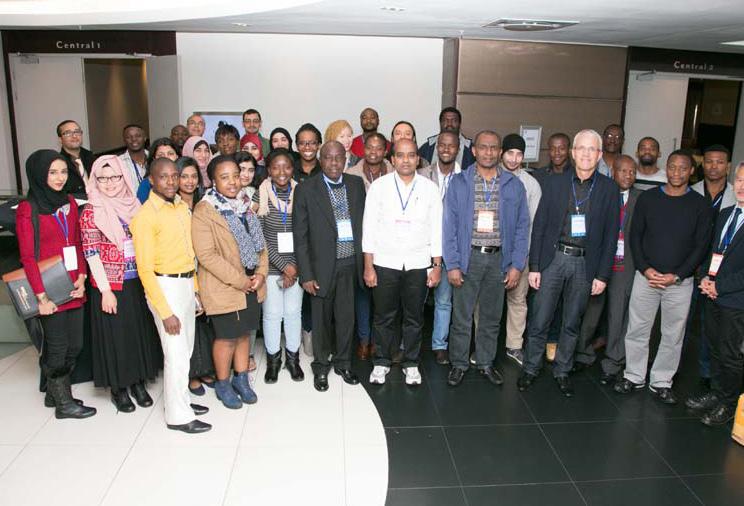


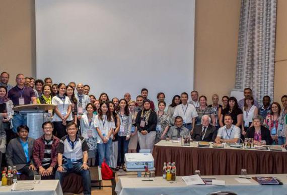
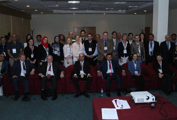
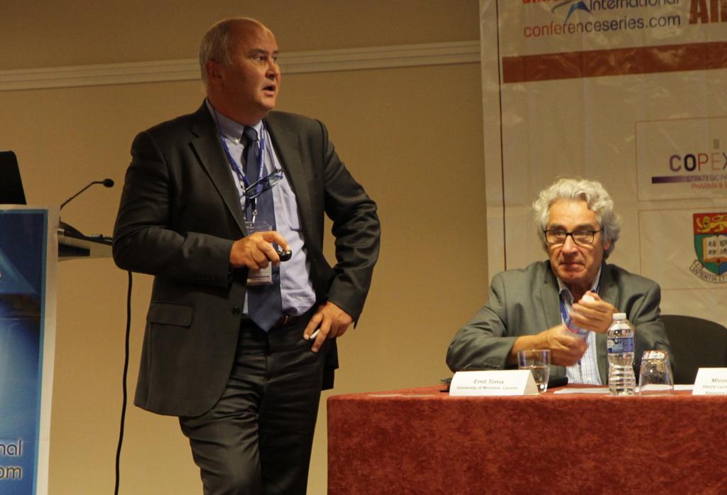
4 Glimpses Of GIS Series Conferences


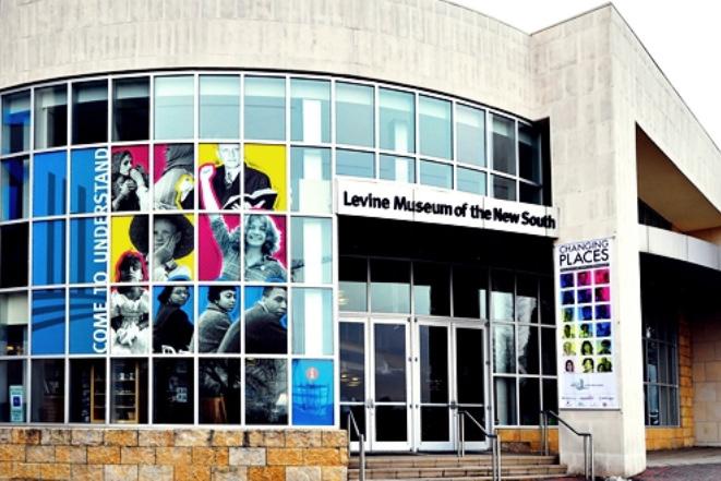
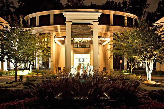

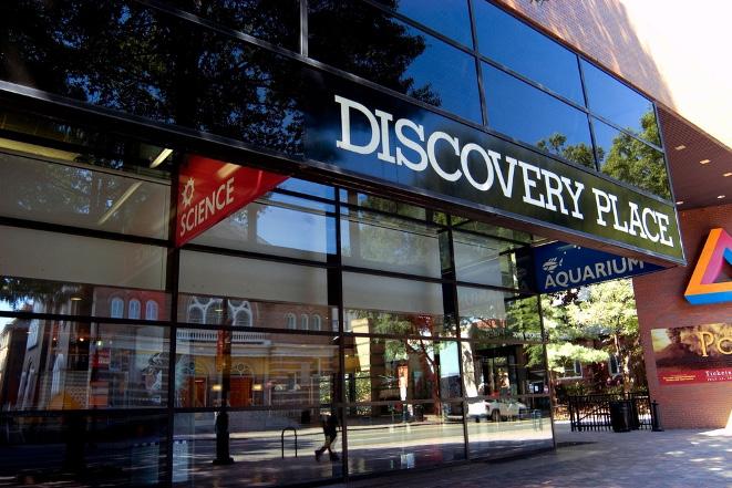

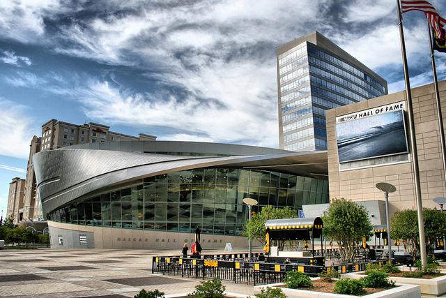
5 Tourist Attractions in Charlotte, USA

6 conferenceseries.com 586 th Conference World Congress on Scientific Program GIS & Remote Sensing August 01-03, 2016 New Orleans, Louisiana, USA Hosting Organization: Conference Series LLC 2360 Corporate Circle., Suite 400 Henderson, NV , USA Ph: , Fax: , Toll free:
7 Registrations conferenceseries.com Title: Streamline GIS and location applications Xinhang Shen, NAC Geographic Products Inc., Canada Scientific Program Day 1 August 01, 2016 Keynote Forum Group photo Title: Developing high-resolution global lake GIS database from landsat images Yongwei Sheng, University of California Los Angeles (UCLA), USA Conference Hall Opening Ceremony Sessions: GIS Remote Sensing GIS Software GIS in Mapping GIS in Disaster Management Coffee Break Session Introduction Session Chair: N S Nethengwe, University of Venda, South Africa Title: GIS and wireless technology: The positive impact on healthcare quality Jeffrey P Harrison, University of North Florida, USA Debra A Harrison, Mayo College of Medicine, USA Lunch Break Title: New orleans: Historic city with a poor memory Craig E. Colten, Louisiana State University, USA Title: Detecting Seriphium plumosum spatial distribution dominancy using some of abiotic variables in Msukaligwa Local Municipality, Mpumalanga N S Nethengwe, University of Venda, South Africa Title: Spatio-temporal modeling of traffic congestion triggered by incidents Arfanara Najnin, Curtin University, Australia Coffee Break Title: Remote sensing approach to evaluate sediment diversions on the lower Mississippi River Reda Amer, Tulane University, USA Title: Feedbacks between fire and landscape using remote sensing and GIS Olga Viedma, University of Castilla-La Mancha, Spain Panel Discussion Day 2 August 02, 2016 Conference Hall Keynote Forum Title: Lunar IceCube: Ushering in a new era of planetary remote sensing using small satellite platforms Benjamin K Malphrus, Morehead State University, USA Title: New era of 3D coastal morphology mapping using LiDAR and unmanned aerial vehicle Xuelian Meng, Louisiana State University, USA Coffee Break Sessions: Geodynamics Digital Earth Session Introduction Session Chair: N S Nethengwe, University of Venda, South Africa Title: Schoenoplectus americanus clones and genetic heat map across kirkpatrick marsh, edgwater, MD Jennifer L Summers, Tulane University, USA Title: Mobile data and individual client diagnostic acquisition from pgws call analysis utilizing spark and the hadoop ecosystem Wilbert A.McClay, Northeastern University, USA Lunch Title: Spatio-temporal analysis of tuberculosis in relation to socio-economic and environmental factors Iqra Ashraf, National University of Science and Technology, Islamabad Page 7

8 Title: Application of GIS in glaciology: Retreat of Saskatchewan Glacier, case report Anar M Samedi, University of Calgary, Canada Poster Presentations Title: Impact of geophysics in small-scale mining GIS01 Antonio Carlos Martins, University of São Paulo, Brazil Title: Determining the relationship between gully characteristics and environmental factors at subcatchment GIS02 level using GIS and remote sensing in Zimbabwe F Dondofema, University of Venda, South Africa Title: Possibility of detection and identification of boats and vessels detected by day-night-band of VIIRS GIS03 and synthetic aperture radar on RADARSAT Ichio Asanuma, Tokyo University of Information Sciences, Japan Title: Development of safety information management system GIS04 Kyungsoo Pyo, National Disaster Management Research Institute, Korea Title: Quantifying spatiotemporal change in land use and land cover and accessing water quality: Case GIS05 study of Missouri watershed James sub-region, North Dakota Papia Faustina Rozario, North Dakota State University, USA Title: Urban change detection method of multi-temporal remote sensing images GIS06 V V Hnatushenko, Oles Honchar Dnipropetrovsk National University, Ukraine V V Vasiliev, Oles Honchar Dnipropetrovsk National University, Ukraine Coffee Break Award Ceremony & Panel Discussion Day 3 August 03, 2016 Networking Lunch ` Bookmark Your Dates 3 rd World Congress on GIS & Remote Sensing September 20-21, 2017 Charlotte, USA Website: Conference Series LLC 2360 Corporate Circle, Suite 400 Henderson, NV , USA Ph: Fax: america@conferenceseries.com Conference Series Ltd Heathrow Stockley Park Lakeside House, 1 Furzeground Way Heathrow, UB11 1BD United Kingdom europe@conferenceseries.com Toll free USA & Canada: Australia: Europe: Page 8
Tentative Program. GIS & Remote Sensing. ***For available speaker slots***
 conferenceseries.com 3 rd World Congress on Tentative Program September 20-21, 2017 Charlotte, North Carolina USA An insight into the accelerating innovations in the field of GIS and remote sensing ***For
GIS and Remote Sensing
 conferenceseries.com Tentative Program 4 th International Conference on GIS and Remote Sensing September 27-28, 2018 Berlin, Germany Innovation Of Spatial Data Infrastructure For Sustainable Development
Chemistry. International Conference on. September 27-28, 2018 l Amsterdam, Netherlands. International
 Meetings International International Conference on September 27-28, 2018 l Amsterdam, Netherlands Theme: Accelerating New Research & Innovations in Contact Us: Meetings International PTE LTD. 28 Maxwell
Coastal Zones & Ocean Science
 4 th International Conference on Coastal Zones & Ocean Science Theme: Discovering the Innovative methods for the betterment of Coastal and Ocean science Dates: May 15-16, 2019 Venue: https://coastalzonemanagement.conferenceseries.com/
Global Chemistry Congress. June 10-12, 2019 Rome, Italy
 June 10-12, 2019 Rome, Italy Global Chemistry Congress Phronesis, LLC, 919 North Market Street, Suite 950 Wilmington, Delaware 19801 USA Email: gcc@phronesisonline.net, gcc@phronesisonline.us Tel: +1 (302)
Conference at a Glance
 Conference at a Glance 8:30 AM MONDAY ROOM 333 ROOM 327/328 ROOM 238 ROOM 296/298 WELCOME and KEYNOTE SPEAKER MICHAEL MILASKA 10 AM BREAK 10:30 AM Web Applications I 12 PM 1:30 PM Intro to R Data Science
B2B Participation
 Asia Chemistry 2018 conferenceseries.com September 12-13, 2018 Singapore 100+ 12+ 6+ 50+ 3+ 5+ B2B Participation Interactive Sessions Keynote Lectures Plenary Lectures Workshops Exhibitors Meetings www.chemistry.conferenceseries.com/asia-pacific/
ENVS S102 Earth and Environment (Cross-listed as GEOG 102) ENVS S110 Introduction to ArcGIS (Cross-listed as GEOG 110)
 ENVS S110 Introduction to ArcGIS (Cross-listed as GEOG 110)") ENVS S102 Earth and Environment (Cross-listed as GEOG 102) 1. Describe the fundamental workings of the atmospheric, hydrospheric, lithospheric, and oceanic systems of Earth 2. Explain the interactions
ENVS S102 Earth and Environment (Cross-listed as GEOG 102) 1. Describe the fundamental workings of the atmospheric, hydrospheric, lithospheric, and oceanic systems of Earth 2. Explain the interactions
Techniques for Science Teachers: Using GIS in Science Classrooms.
 Techniques for Science Teachers: Using GIS in Science Classrooms. After ESRI, 2008 GIS A Geographic Information System A collection of computer hardware, software, and geographic data used together for
Spatial Data Science. Soumya K Ghosh
 Workshop on Data Science and Machine Learning (DSML 17) ISI Kolkata, March 28-31, 2017 Spatial Data Science Soumya K Ghosh Professor Department of Computer Science and Engineering Indian Institute of Technology,
PHARM CHEM 2018 PHARMACEUTICAL CHEMISTRY AND DRUG DESIGN. Exceeding the Vision in Drug and Pharmaceutical Chemistry. Media Partners & Collaborators
 15+ Interactive Sessions 10+ Keynote Lectures 40+ Scientific Sessions 3+ Workshops 30+ Posters B2B Meetings PHARM CHEM 2018 20 th World Conference on PHARMACEUTICAL CHEMISTRY AND DRUG DESIGN September
Basics of GIS reviewed
 Basics of GIS reviewed Martin Breunig Karlsruhe Institute of Technology martin.breunig@kit.edu GEODETIC INSTITUTE, DEPARTMENT OF CIVIL ENGINEERING, GEO AND ENVIRONMENTAL SCIENCES, CHAIR IN GEOINFORMATICS
World Congress on Chemistry
 August 19-20, 2019 Kuala Lumpur, Malaysia World Congress on Chemistry Delving into advances in Chemistry research and innovations Website: www.chemistrycongress.org Email: contact@chemistry2019.org Ph:
Esri India User Conference
 Esri India User Conference The Leela Ambience Convention Hotel, Delhi January 19 20, 2017 Keynote Speaker Jack Dangermond Founder and President, Esri Inc. Register Today esriindia.com/indiauc About Esri
Urban Geo-Informatics John W Z Shi
 Urban Geo-Informatics John W Z Shi Urban Geo-Informatics studies the regularity, structure, behavior and interaction of natural and artificial systems in the urban context, aiming at improving the living
GIS certificate; 24th 28th September and 3rd 7th December University of Venda
 ;, TARGET Delegates; Town planners. Geologist, Hydrologist, Hydro-Geologists Botanists Conservationists Land Surveyors, Educators, Researchers, Undergraduate and post-graduate students, companies, Local
Themes for Geomatics Conference. Geodesy Themes
 Themes for Geomatics Conference Geodesy Themes Geodynamics o Modeling the Deformation of the Earth s Crust o Recent Advances in Geometric Approaches to Deformation Analysis o Monitoring Systems (Sensors
Tools to Assess Local Health Needs. Richard Leadbeater, Esri NACo 2011 Healthy Counties Forum December 1, 2011
 Tools to Assess Local Health Needs Richard Leadbeater, Esri NACo 2011 Healthy Counties Forum December 1, 2011 Richard Leadbeater currently holds the position of Industry Solutions Manager with Esri. He
GIS and Remote Sensing
 +14405799820 5th International Conference on GIS and Remote Sensing September 19-20, 2019 Rome, Italy SCIENTIF IC P ROGRA M SCIENTIFIC PROGRAM Thursday, 19 th September DAY 1 Thursday, 19 th September
3 rd World Chemistry Conference and Exhibition
 WCCE 2019 - June 13-15, 2019 Brussels, Belgium WCCE- 2019 3 rd World Chemistry Conference and Exhibition June 13-15, 2019 Brussels, Belgium http://wcce-2019.com/ INVITATION Innovinc International welcomes
Introduction to Spatial Big Data Analytics. Zhe Jiang Office: SEC 3435
 Introduction to Spatial Big Data Analytics Zhe Jiang zjiang@cs.ua.edu Office: SEC 3435 1 What is Big Data? Examples Internet data (images from the web) Earth observation data (nasa.gov) wikimedia.org www.me.mtu.edu
2 nd Semester. Core Courses. C 2.1 City and Metropolitan Planning. Module 1: Urban Structure and Growth Implications
 2 nd Semester Core Courses C 2.1 City and Metropolitan Planning Module 1: Urban Structure and Growth Implications Growth of cities; cities as engine of growth; urban sprawl; land value, economic attributes
Earth Science & Global Geology
 Media Partner 2nd International Earth Science & Global Geology Conference December 3-5, 2018 Dubai, UAE Conference Invitation Madridge Conferences is pleased to welcome you to the 2nd International Earth
SOLUTIONS ADVANCED GIS. TekMindz are developing innovative solutions that integrate geographic information with niche business applications.
 ADVANCED GIS SOLUTIONS TekMindz are developing innovative solutions that integrate geographic information with niche business applications. TEK INDZ TM GIS Services Overview At the leading edge of geospatial
8/28/2011. Contents. Lecture 1: Introduction to GIS. Dr. Bo Wu Learning Outcomes. Map A Geographic Language.
 Contents Lecture 1: Introduction to GIS Dr. Bo Wu lsbowu@polyu.edu.hk Department of Land Surveying & Geo-Informatics The Hong Kong Polytechnic University 1. Learning outcomes 2. GIS definition 3. GIS examples
What is GIS? ESRI Canada. August 2011
 What is GIS? ESRI Canada August 2011 Geography Matters! Environmental Park Management Agriculture Public Utilities Health Care Emergency 911 Real Estate Marketing Environmental What are the effects of
«Geodesy, Cartography, Geoinformatics and Cadastre. From idea to application» 2 nd International Conference on Applied Science
 ГеоКа 2017 GeoCa Санкт-Петербург November 8 10 Saint-Petersburg «Geodesy, Cartography, Geoinformatics and Cadastre. From idea to application» 2 nd International Conference on Applied Science Organizers
Observation (EO) & Geomatics in Canada
 & Geomatics in Canada") Innovating to Increase the Impact of Earth Observation (EO) & Geomatics in Canada Natural Resources Canada February 25, 2014 Prashant Shukle, Director General Canada Centre for Mapping and Earth Observation
Innovating to Increase the Impact of Earth Observation (EO) & Geomatics in Canada Natural Resources Canada February 25, 2014 Prashant Shukle, Director General Canada Centre for Mapping and Earth Observation
Tentative Program. GIS and Remote Sensing. ***For available speaker slots***
 conferenceseries.com 2 nd International Conference on Tentative Program GIS and Remote Sensing October 02-03, 2017 Vienna, Austria Innovation Of Spatial Data Infrastructure For Sustainable Development
GEOGRAPHY (GE) Courses of Instruction
 Courses of Instruction") GEOGRAPHY (GE) GE 102. (3) World Regional Geography. The geographic method of inquiry is used to examine, describe, explain, and analyze the human and physical environments of the major regions of the
GEOGRAPHY (GE) GE 102. (3) World Regional Geography. The geographic method of inquiry is used to examine, describe, explain, and analyze the human and physical environments of the major regions of the
GIS = Geographic Information Systems;
 What is GIS GIS = Geographic Information Systems; What Information are we talking about? Information about anything that has a place (e.g. locations of features, address of people) on Earth s surface,
Technical Drafting, Geographic Information Systems and Computer- Based Cartography
 Technical Drafting, Geographic Information Systems and Computer- Based Cartography Project-Specific and Regional Resource Mapping Services Geographic Information Systems - Spatial Analysis Terrestrial
First International Conference on Smart Data and Smart Cities, 30 th UDMS September 7 9, 2016, University of Split, Croatia
 First International Conference on Smart Data and Smart Cities, 30 th UDMS September 7 9, 2016, University of Split, Croatia First International Conference on Smart Data and Smart Cities was held in Split,
Module 2 Educator s Guide Investigation 2
 Module 2 Educator s Guide Investigation 2 How does remote sensing help us to observe human activities on Earth? Investigation Overview Landscapes that are influenced by human activities are found nearly
Mass Spectrometry and Chromatography August 24-25, 2018 Singapore
 conferenceseries.com 7 th Global Congress on Mass Spectrometry and Chromatography August 24-25, 2018 Singapore 100+ 12+ 6+ 50+ 3+ 5+ B2B Participation Interactive Sessions Keynote Lectures Plenary Lectures
1. Omit Human and Physical Geography electives (6 credits) 2. Add GEOG 677:Internet GIS (3 credits) 3. Add 3 credits to GEOG 797: Final Project
 2. Add GEOG 677:Internet GIS (3 credits) 3. Add 3 credits to GEOG 797: Final Project") The Department of Geography and the Office of Professional Studies propose to modify the Master of Professional Studies in Geospatial Information Sciences (GIS) as follows: 1. Omit Human and Physical Geography
The Department of Geography and the Office of Professional Studies propose to modify the Master of Professional Studies in Geospatial Information Sciences (GIS) as follows: 1. Omit Human and Physical Geography
Part : General Situation of Surveying and Mapping. The Development of Surveying and Mapping in China. The contents
 The Development of Surveying and Mapping in China Dr. Ping Xiao China.P.R The contents Part : General Situation of Surveying and Mapping 1. The legal systems of surveying and mapping 2. The technologies
Diffusion of GIS in Public Policy Doctoral Program
 Diffusion of GIS in Public Policy Doctoral Program By Fulbert Namwamba PhD Southern University This presentation demonstrate how GIS was introduced in the Public Policy Doctoral Program at Southern University,
GIS in Community & Regional Planning
 GIS in Community & Regional Planning The The role role of of GIS GIS in in Re-writing the the Zoning Bylaw for for the the City City of of Vernon LandInfo Technologies Presentation Overview The GIS Initiative
GIS Ostrava 2014 Final resume
 GIS Ostrava 2014 Final resume The 11 th Symposium GIS Ostrava 2014 was held in the New Hall of the Technical University of Ostrava for three days since Jan 27th to Jan 29th. Similarly, as in previous years,
Introduction to GIS. Dr. M.S. Ganesh Prasad
 Introduction to GIS Dr. M.S. Ganesh Prasad Department of Civil Engineering The National Institute of Engineering, MYSORE ganeshprasad.nie@gmail.com 9449153758 Geographic Information System (GIS) Information
Leilei Duan. Spatial Science Institute University of Southern California Los Angeles, CA 90089
 Leilei Duan Spatial Science Institute University of Southern California Los Angeles, CA 90089 Email: leileidu@usc.edu Web resume: https://goo.gl/btwwip Phone: +1 352 213 3511 EDUCATION Post-doc Teaching
GIS and Remote Sensing
 Spring School Land use and the vulnerability of socio-ecosystems to climate change: remote sensing and modelling techniques GIS and Remote Sensing Katerina Tzavella Project Researcher PhD candidate Technology
Hydrologic Analysis for Ecosystem Restoration
 Hydrologic Analysis for Ecosystem Restoration Davis, California Objectives: To provide participants with: 1) an understanding of the issues in restoration studies; 2) an overview of Corps policies and
FLORENCE AFTERMATH PAYNE INSTITUTE COMMENTARY SERIES: VIEWPOINT. Can the Power Outages Be Seen from Space?
 PAYNE INSTITUTE COMMENTARY SERIES: VIEWPOINT FLORENCE AFTERMATH Can the Power Outages Be Seen from Space? By Chris Elvidge, Kimberly Baugh, and Morgan Bazilian September, 2018 TRACKING ENERGY DISRUPTIONS
Spatial Data Analysis with ArcGIS Desktop: From Basic to Advance
 Spatial Data Analysis with ArcGIS Desktop: From Basic to Advance 1. Course overview Modern environmental, energy as well as resource modeling and planning require huge amount of geographically located
Remote Sensing and EO activities at the University of Turku
 Remote Sensing and EO activities at the University of Turku Niina Käyhkö Associate Professor Department of Geography and Geology GEO meeting/syke May 23rd, 2018 Geospatial competence at the University
Canadian Geo Course Introduction
 Canadian Geo 1202 Course Introduction Course Overview Unit 1 Natural and Human Systems (SCO 1.0 and SCO 2.0) - What happens when systems interact? In this unit students are challenged to reflect on the
Physical Geography: Patterns, Processes, and Interactions, Grade 11, University/College Expectations
 Geographic Foundations: Space and Systems SSV.01 explain major theories of the origin and internal structure of the earth; Page 1 SSV.02 demonstrate an understanding of the principal features of the earth
VISUALIZING THE SMART CITY 3D SPATIAL INFRASTRUCTURE GEOSMART ASIA- 30 SEP, 2015
 www.aamgroup.com VISUALIZING THE SMART CITY 3D SPATIAL INFRASTRUCTURE GEOSMART ASIA- 30 SEP, 2015 Agenda AAM What is a Smart City? Data Acquisition 3D Modelling Benefits Questions AAM AAM is a Geospatial
XXIII CONGRESS OF ISPRS RESOLUTIONS
 XXIII CONGRESS OF ISPRS RESOLUTIONS General Resolutions Resolution 0: Thanks to the Czech Society commends: To congratulate The Czech Society, its president and the Congress Director Lena Halounová, the
SCIENTIFIC PROGRAM. Overall Program Oral Presentations and Posters Student Consortium Plenary Speakers
 206 SCIENTIFIC PROGRAM Overall Program Oral Presentations and Posters Student Consortium Plenary Speakers Overall Program 207 208 Oral Presentations and Posters Monday, 11 July, 2016 08:30-12:00 Faculty
Identifying Audit, Evidence Methodology and Audit Design Matrix (ADM)
") 11 Identifying Audit, Evidence Methodology and Audit Design Matrix (ADM) 27/10/2012 Exercise XXX 2 LEARNING OBJECTIVES At the end of this session participants will be able to: 1. Identify types and sources
11 Identifying Audit, Evidence Methodology and Audit Design Matrix (ADM) 27/10/2012 Exercise XXX 2 LEARNING OBJECTIVES At the end of this session participants will be able to: 1. Identify types and sources
Report of the Regional Committee of UN-GGIM for Asia and the Pacific (UN-GGIM-AP)
") Report of the Regional Committee of UN-GGIM for Asia and the Pacific (UN-GGIM-AP) At the Eighth Session of UN-GGIM UN Headquarters, New York, 1 3 August 2018 About UN-GGIM-AP One of the five regional committees
Report of the Regional Committee of UN-GGIM for Asia and the Pacific (UN-GGIM-AP) At the Eighth Session of UN-GGIM UN Headquarters, New York, 1 3 August 2018 About UN-GGIM-AP One of the five regional committees
Internet GIS Sites. 2 OakMapper webgis Application
 Internet GIS Sites # Name URL Description 1 City of Sugar Land http://www.sugarlandtx.gov/index.htm It is a city in Texas with 65,000 Residents. The City of Sugar Land, Texas, provides ArcIMS-based maps
An Internet-Based Integrated Resource Management System (IRMS)
") An Internet-Based Integrated Resource Management System (IRMS) Third Quarter Report, Year II 4/1/2000 6/30/2000 Prepared for Missouri Department of Natural Resources Missouri Department of Conservation
An Internet-Based Integrated Resource Management System (IRMS) Third Quarter Report, Year II 4/1/2000 6/30/2000 Prepared for Missouri Department of Natural Resources Missouri Department of Conservation
Climate Change and Mapping of the Future Nature
 Climate Change and Mapping of the Future Nature The XXIV FIG International Congress 2010 TS 4E Coasts and Natural Resources Tuesday 13 April Mr. Jesper Rye Rasmussen Denmark on the map Sydney, Australia,
Geography & Technology. Geography of Canada
 Geography & Technology Geography of Canada www.craigmarlatt.com/school Geography & Technology 1. Geographic Informationn Systems 2. Global Positioning System 3. Aerial Photographs 4. Satellite Imagery
Yrd. Doç. Dr. Saygın ABDİKAN Öğretim Yılı Güz Dönemi
 Yabancı Dil III (YDL285) Introduction to Geomatics Yrd. Doç. Dr. Saygın ABDİKAN 2017-2018 Öğretim Yılı Güz Dönemi 1 géomatique Geo (Earth) + informatics Geodesy + Geoinformatics Geomatics: The mathematics
The Use of Geographic Information Systems (GIS) by Local Governments. Giving municipal decision-makers the power to make better decisions
 by Local Governments. Giving municipal decision-makers the power to make better decisions") The Use of Geographic Information Systems (GIS) by Local Governments Giving municipal decision-makers the power to make better decisions Case Study: Examples of GIS Usage by Local Governments in North
The Use of Geographic Information Systems (GIS) by Local Governments Giving municipal decision-makers the power to make better decisions Case Study: Examples of GIS Usage by Local Governments in North
Tao Tang and Jiazhen Zhang Department of Geography and Planning, and the Great Lakes Research Center State University of New York Buffalo State
 Tao Tang and Jiazhen Zhang Department of Geography and Planning, and the Great Lakes Research Center State University of New York Buffalo State College 1300 Elmwood Ave., Buffalo, NY 14222-1095 Email:
Jay Lawrimore NOAA National Climatic Data Center 9 October 2013
 Jay Lawrimore NOAA National Climatic Data Center 9 October 2013 Daily data GHCN-Daily as the GSN Archive Monthly data GHCN-Monthly and CLIMAT messages International Surface Temperature Initiative Global
FOSS4G 2010 presented by OSGeo Proposal
 FOSS4G 2010 presented by OSGeo Proposal About OSGeo China The China Chapter of OSGeo is formed by Chinese Active Users of Open Source Geospatial Software, hosted by National Remote Sensing Center of China
ENVIRONMENT AND NATURAL RESOURCES 3700 Introduction to Spatial Information for Environment and Natural Resources. (2 Credit Hours) Semester Syllabus
 Semester Syllabus") ENVIRONMENT AND NATURAL RESOURCES 3700 Introduction to Spatial Information for Environment and Natural Resources COURSE INSTRUCTOR: Dr. Kris Jaeger Assistant Professor 359 Kottman Hall (Mondays and Tuesdays)
ENVIRONMENT AND NATURAL RESOURCES 3700 Introduction to Spatial Information for Environment and Natural Resources COURSE INSTRUCTOR: Dr. Kris Jaeger Assistant Professor 359 Kottman Hall (Mondays and Tuesdays)
An Internet-based Agricultural Land Use Trends Visualization System (AgLuT)
") An Internet-based Agricultural Land Use Trends Visualization System (AgLuT) Prepared for Missouri Department of Natural Resources Missouri Department of Conservation 07-01-2000-12-31-2001 Submitted by
An Internet-based Agricultural Land Use Trends Visualization System (AgLuT) Prepared for Missouri Department of Natural Resources Missouri Department of Conservation 07-01-2000-12-31-2001 Submitted by
Geography involves the study of places: their locations, their characteristics, and how humans use and move around them.
 Physical Geography Looking at the Earth Geography involves the study of places: their locations, their characteristics, and how humans use and move around them. NEXT Physical Geography Looking at the Earth
VGIscience Summer School Interpretation, Visualisation and Social Computing of Volunteered Geographic Information (VGI)
") VGIscience Summer School Interpretation, Visualisation and Social Computing of Volunteered Geographic Information (VGI) TU Dresden, 11.-15. September 2017 Welcome PhD students working on research topics
VGIscience Summer School Interpretation, Visualisation and Social Computing of Volunteered Geographic Information (VGI) TU Dresden, 11.-15. September 2017 Welcome PhD students working on research topics
Remote Sensing for Ecosystems
 MODULE GUIDE MSc ENR Remote Sensing for Ecosystems Semester 01 Modul coordinator Lecturers Michael Döring Pascal Ochsner, Diego Tonolla, Diane Whited, Michael Döring Martin Geilhausen Latest update August
GEOGRAPHY (GEOG) Geography (GEOG) 1
 Geography (GEOG) 1") Geography (GEOG) 1 GEOGRAPHY (GEOG) GEOG 104 The Physical Environment (4 crs) Introduction to the spatial relations and interactions among the Earth's dynamic systems--atmosphere, biosphere, lithosphere,
Geography (GEOG) 1 GEOGRAPHY (GEOG) GEOG 104 The Physical Environment (4 crs) Introduction to the spatial relations and interactions among the Earth's dynamic systems--atmosphere, biosphere, lithosphere,
VENUS INTERNATIONAL COLLEGE OF TECHNOLOGY
 VENUS INTERNATIONAL COLLEGE OF TECHNOLOGY DEPARTMENT OF E&C ENGINEERING A REPORT ON INDUSTRIAL VISIT AT BISAG, GANDHINAGAR PROFILE: BISAG provides specialized services and solutions in implementing mapbased
GEOMATICS. Shaping our world. A company of
 GEOMATICS Shaping our world A company of OUR EXPERTISE Geomatics Geomatics plays a mayor role in hydropower, land and water resources, urban development, transport & mobility, renewable energy, and infrastructure
DEPARTMENT OF GEOGRAPHY B.A. PROGRAMME COURSE DESCRIPTION
 DEPARTMENT OF GEOGRAPHY B.A. PROGRAMME COURSE DESCRIPTION (3 Cr. Hrs) (2340100) Geography of Jordan (University Requirement) This Course pursues the following objectives: - The study the physical geographical
Call for Hosting the 16 th World (ISSP) Congress in Sport Psychology in 2025
 Congress in Sport Psychology in 2025") Call for Hosting the 16 th World (ISSP) Congress in Sport Psychology in 2025 The International Society of Sport Psychology (ISSP) encourages groups and organizations to host the 16 th World Congress in
Call for Hosting the 16 th World (ISSP) Congress in Sport Psychology in 2025 The International Society of Sport Psychology (ISSP) encourages groups and organizations to host the 16 th World Congress in
Spanish national plan for land observation: new collaborative production system in Europe
 ADVANCE UNEDITED VERSION UNITED NATIONS E/CONF.103/5/Add.1 Economic and Social Affairs 9 July 2013 Tenth United Nations Regional Cartographic Conference for the Americas New York, 19-23, August 2013 Item
GRADUATE CERTIFICATE PROGRAM
 GRADUATE CERTIFICATE PROGRAM GEOGRAPHIC INFORMATION SCIENCES Department of Geography University of North Carolina Chapel Hill Conghe Song, Director csong @email.unc.edu 919-843-4764 (voice) 919-962-1537
Esri and GIS Education
 Esri and GIS Education Organizations Esri Users 1,200 National Government Agencies 11,500 States & Regional Agencies 30,800 Cities & Local Governments 32,000 Businesses 8,500 Utilities 12,600 NGOs 11,000
Statewide Topographic Mapping Program
 Statewide Topographic Mapping Program February 28, 2018 www.dotd.la.gov Outline Purpose of the Statewide Topographic Mapping Program History Breakdown of R.S. 48:36 - Topographic Mapping Statewide Topographic
th Ave NW Norman, OK
 2004 Oklahoma Chapter SCAUG Steering Committee Shellie Willoughby Chair Oklahoma Conservation Commission (405) 521-4828 Joyce Green Past Chair (405) 366-5467 Kate Burch Sec/Tres. Topographic Mapping (405)
2018 PARIS. Enhance your image in an original way by joining us in this exceptional adventure.
 After Sydney (Australia) in 2002, Beijing (China) in 2006, London (United Kingdom) in 2010 and Mendoza (Argentina) in 2014. 2018 PARIS For the first time, France organizes the International Congress of
REVIEW MAPWORK EXAM QUESTIONS 31 JULY 2014
 REVIEW MAPWORK EXAM QUESTIONS 31 JULY 2014 Lesson Description In this lesson we: Focus on key concepts and exam questions relating to GIS. Question 1 Test Yourself The most important component of a GIS
Manitoba s Elevation (LiDAR) & Imagery Datasets. Acquisition Plans & Opportunities for Collaboration
 & Imagery Datasets. Acquisition Plans & Opportunities for Collaboration") Manitoba s Elevation (LiDAR) & Imagery Datasets Acquisition Plans & Opportunities for Collaboration Manitoba Planning Conference May 2017 Presentation Outline Manitoba s Elevation (LiDAR) and Imagery Datasets
Manitoba s Elevation (LiDAR) & Imagery Datasets Acquisition Plans & Opportunities for Collaboration Manitoba Planning Conference May 2017 Presentation Outline Manitoba s Elevation (LiDAR) and Imagery Datasets
ESRI NONPROFIT/CONSERVATION GRANTS PROGRAM STATUS REPORT JANUARY 2010
 ESRI NONPROFIT/CONSERVATION GRANTS PROGRAM STATUS REPORT JANUARY 2010 Grantee ESRI Client Number 150983 FARMINGTON RIVER WATERSHED ASSOCIATION 749 Hopmeadow Street, Simsbury, Connecticut 06070 Contact:
Application of WebGIS and VGI for Community Based Resources Inventory. Jihn-Fa Jan Department of Land Economics National Chengchi University
 Application of WebGIS and VGI for Community Based Resources Inventory Jihn-Fa Jan Department of Land Economics National Chengchi University OUTLINE Introduction Methodology Results Conclusions 2 MOTIVATION
Pathways. Pathways through the Geography Major
 Pathways through the Major majors may structure their course selections around a sub-field of. Pathways are suggestions for classes in, in related disciplines, and skills training. Each pathway includes
ENV208/ENV508 Applied GIS. Week 1: What is GIS?
 ENV208/ENV508 Applied GIS Week 1: What is GIS? 1 WHAT IS GIS? A GIS integrates hardware, software, and data for capturing, managing, analyzing, and displaying all forms of geographically referenced information.
Introduction to GIS Suchith Anand
 Introduction to GIS Suchith Anand Introduction What is GIS? Spatial Data Models Fundamental GIS Map generalization Applied GIS Future Study links What is a Map? A map is a visual representation of an area
Pierce Cedar Creek Institute GIS Development Final Report. Grand Valley State University
 Pierce Cedar Creek Institute GIS Development Final Report Grand Valley State University Major Goals of Project The two primary goals of the project were to provide Matt VanPortfliet, GVSU student, the
First Announcement and Call for Abstracts
 First Announcement and Call for Abstracts 6TH INTERNATIONAL SYMPOSIUM ON ROCKBURST AND SEISMICITY IN MINES 9 11 March 2005, Perth, Western Australia Hosted by [ ] The Australian Centre for Geomechanics
EBA Engineering Consultants Ltd. Creating and Delivering Better Solutions
 EBA Engineering Consultants Ltd. Creating and Delivering Better Solutions ENHANCING THE CAPABILITY OF ECOSYSTEM MAPPING TO SUPPORT ADAPTIVE FOREST MANAGEMENT Prepared by: EBA ENGINEERING CONSULTANTS LTD.
After the deadline for abstract submission, a summary of current activities is reported below.
 The 21 st European Conference on Thermophysical Properties (ECTP) will take place at Graz University of Technology from 3 rd to 8 th September 2017. It is organized by the Thermophysics and Metalphysics
ANALYSIS OF URBAN PLANNING IN ISA TOWN USING GEOGRAPHIC INFORMATION SYSTEMS TECHNIQUES
 ANALYSIS OF URBAN PLANNING IN ISA TOWN USING GEOGRAPHIC INFORMATION SYSTEMS TECHNIQUES Lamya HAIDER, Prof. Mohamed AIT BELAID (*) Corre, and Dr. Anwar S. Khalil Arabian Gulf University (AGU), College of
Summary of Global Mapping Forum 2003 in Okinawa and its Outcomes
 Summary of Global Mapping Forum 2003 in Okinawa and its Outcomes 1 Summary of Global Mapping Forum 2003 in Okinawa and its Outcomes Hidetoshi NAKAJIMA Abstract Global Mapping Forum 2003 in Okinawa was
Manual of Digital Earth
 V8.0 March 27, 2018 International Society for Digital Earth Manual of Digital Earth (Tentative Title) OUTLINE Foreword Chapter 1 Understanding Digital Earth 1.1 Origins and Precursors of Digital Earth
Geospatial data and analysis fundamentals applied to renewable energies potential assessment
 Geospatial data and analysis fundamentals applied to renewable energies potential assessment Network analysis: Do we go to Perugia by car? Guideline Introduction renewable energy and Geospatial Technologies
Implementing the Sustainable Development Goals: The Role of Geospatial Technology and Innovation
 Fifth High Level Forum on UN Global Geospatial Information Management Implementing the Sustainable Development Goals: The Role of Geospatial Technology and Innovation 28-30 November 2017 Sheraton Maria
Data Aggregation with InfraWorks and ArcGIS for Visualization, Analysis, and Planning
 Data Aggregation with InfraWorks and ArcGIS for Visualization, Analysis, and Planning Stephen Brockwell President, Brockwell IT Consulting, Inc. Join the conversation #AU2017 KEYWORD Class Summary Silos
Geo Business Gis In The Digital Organization
 We have made it easy for you to find a PDF Ebooks without any digging. And by having access to our ebooks online or by storing it on your computer, you have convenient answers with geo business gis in
GIS INTEGRATION OF DATA COLLECTED BY MOBILE GPSSIT
 GIS INTEGRATION OF DATA COLLECTED BY MOBILE GPSSIT S.Savaş DURDURAN, Özşen ÇORUMLUOĞLU, Đbrahim KALAYCI and Fatih GÜL Selcuk University, Geodesy and Photogrammetry Dept. Konya-TURKĐYE ABSTRACT: Rapid developments
GeoWorlds: Integrated Digital Libraries and Geographic Information Systems
 GeoWorlds: Integrated Digital Libraries and Geographic Information Systems http://www.isi.edu/geoworlds Robert Neches In-Young Ko, Robert MacGregor, Ke-Thia Yao Distributed Scalable Systems Division USC
The Road to Data in Baltimore
 Creating a parcel level database from high resolution imagery By Austin Troy and Weiqi Zhou University of Vermont, Rubenstein School of Natural Resources State and local planning agencies are increasingly